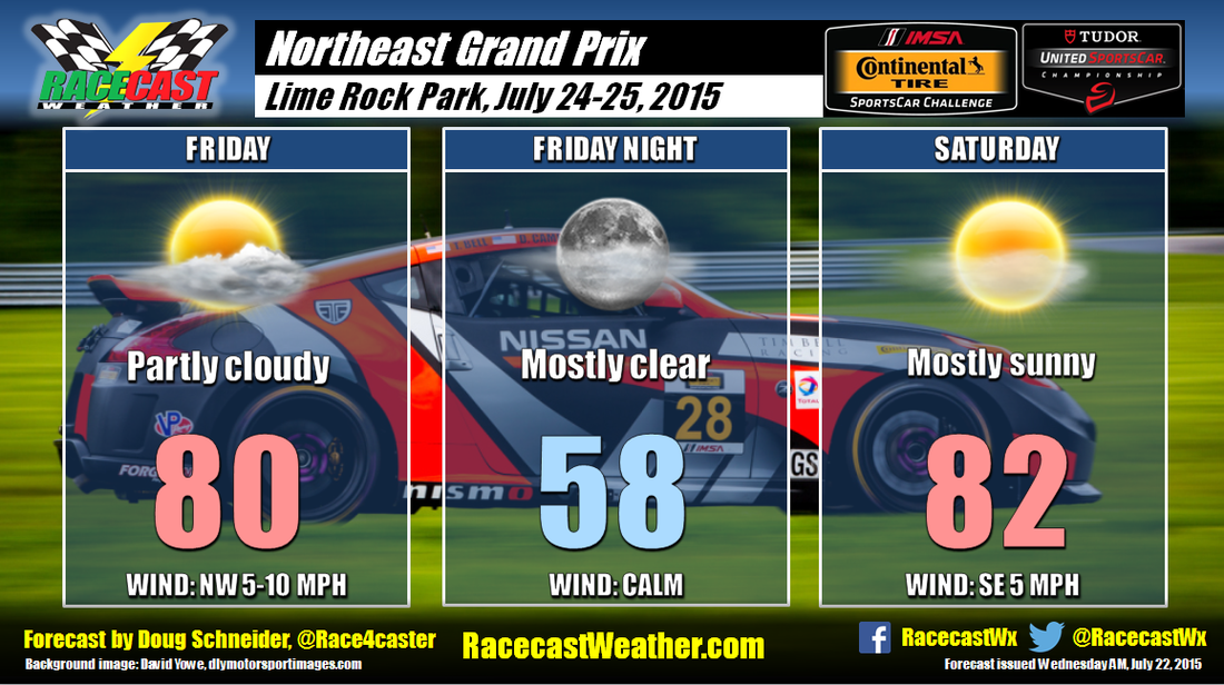
I do have to mention one caveat to Friday's forecast - there are some indications that there could be a few showers around the area in the afternoon. In my last post, I mentioned an upper level low pressure system that will be northeast of New England, near Nova Scotia and the Gulf of St. Lawrence, that would bring a mix of sun and clouds on Friday. Some models develop enough instability under this low to squeeze out some light rain across Connecticut. However, I'm not biting on this in my forecast as I think the showers will stay to the east, and the chances of rain at the track are too small to make it worth a mention. From what I see, the indications are stronger that the day will be dry, so I'm sticking with my original dry forecast. But I'd put the chance of seeing a shower on Friday around 10%.
Saturday still looks great as high pressure builds in, with mostly sunny skies and highs in the lower 80s. A chance of showers and thunderstorms is expected to hold off until Sunday when a cold front will approach the area.


