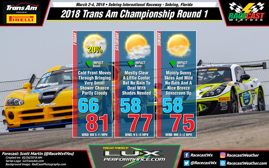
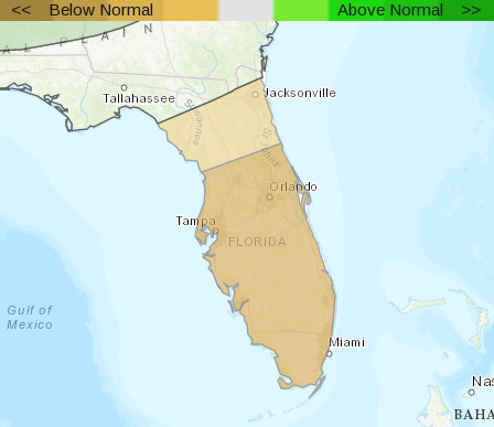
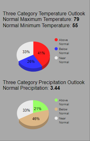
Looking at the long range models for Friday, those shower chances will be very small and scattered in nature, and it looks like most of that may push through before the cars even take to the track during the morning sessions. I will keep a 20% chance in the forecast at this point, but will adjust that as needed as the week progresses. Skies are expected to be partly cloudy, but there will be a good supply on sunshine making through the clouds. After starting off around 66 degrees at 8:00 AM, temperatures will climb into the lower 80s to near 81 degrees for the afternoon high. Winds will be out of the NW at 6-11 MPH.
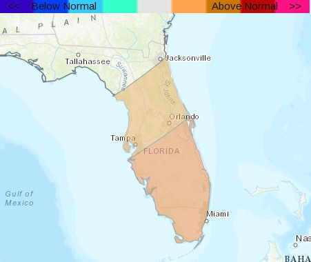
The cold front will have brought a slightly cooler and drier air mass to the area, and you will definitely notice that on Saturday and Sunday. Another thing you will notice is the increased sunshine over Sebring. Skies will be mostly sunny on both days, with Sunday being the clearest day. Highs will top out in the upper 70s on Saturday and the mid-70s on Sunday, with both days starting off in the upper 50s at 8:00 AM. Winds will mainly be out of the north at 6-10 on Saturday, and out of the north-northwest at 6-12 MPH on Sunday.
I will have updates throughout the week on our website and on our social media feeds. Remember that our main forecasts will be posted on the Racecast Weather Twitter feed (@RacecastWx), as we try to continue to build our audience and keep any confusion out of the way.
We want to thank Lux Performance for becoming our forecast partners for the Trans Am Series Presented by Pirelli for the 2018. Be sure to stop by their site at LuxPerformance.com and check out the latest on what they have going on.
If you would like to be a partner with Racecast Weather, please feel free to contact us through our contact page on our site. We have very affordable plans no matter what the size of your budget.

