
Welcome to Racecast Weather
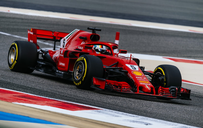
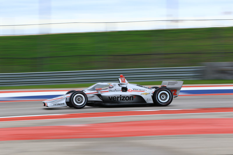
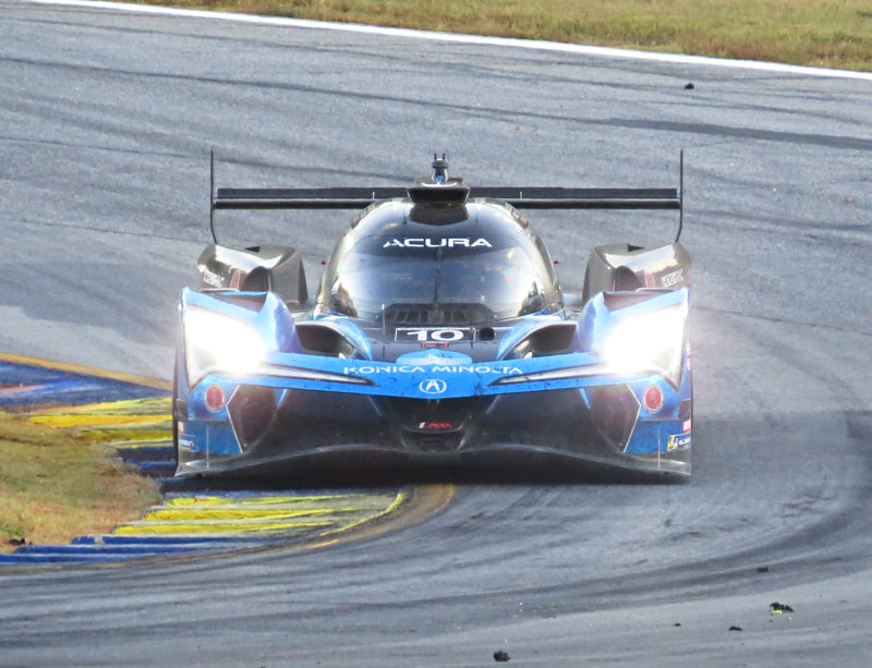
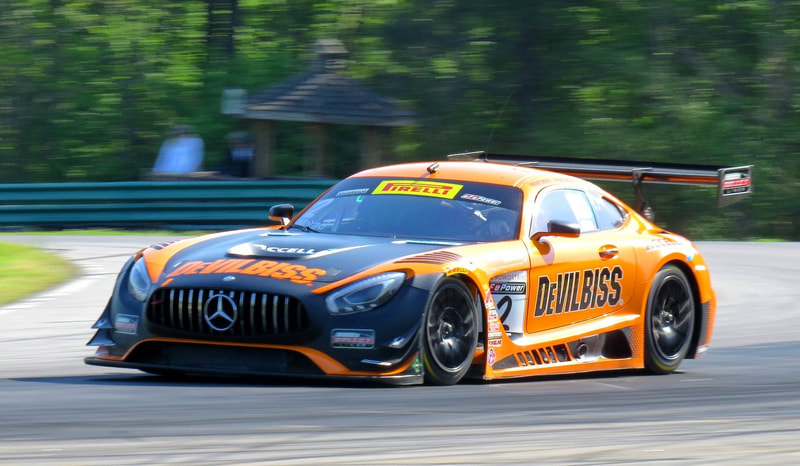
Click on the images below to get the latest forecast for each race series
ABOUT RACECAST WEATHER
Doug Schneider, Stephen McCoy, and Harris Cooley are race fans and meteorologists dedicated to providing accurate forecasts and timely weather updates at racing venues around the world. We forecast weather for Formula One, IndyCar, IMSA, IGTC, and other major races around the world. Doug and Scott Martin founded Racecast Weather in 2014 as a way to combine their love of racing and weather.
For additional weather updates, including live radar updates during an event, visit us on Twitter (@RacecastWx), Facebook (RacecastWx), and Instagram (racecastweather).
