Well, the good news for the GMR Grand Prix at the Indianapolis Motor Speedway looks to be dry throughout the entire race weekend, but the bad news will be the heat.
By Scott Martin Well, the good news for the GMR Grand Prix at the Indianapolis Motor Speedway looks to be dry throughout the entire race weekend, but the bad news will be the heat. 
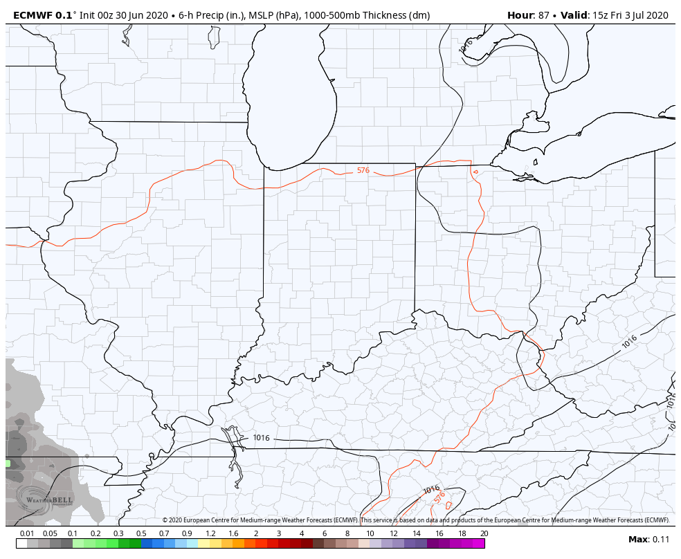
Friday looks to be a hot day with plenty of sunshine and only a few clouds, and winds will be too light to really give any help to cooling anyone off. Temperatures will start off around 84 degrees at 11:00 am, just before the first round of practice and heat up to around 91 degrees by 4:00 pm. It will only drop a degree or two for qualifying. Winds will be out of the northeast at 2-6 MPH. 
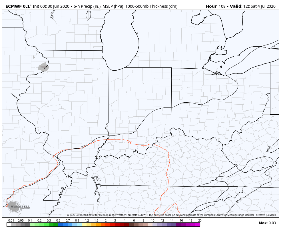
A near carbon copy forecast for Saturday but there will be just a few more clouds in the sky. However, skies will be mostly sunny and temperatures will be hot once again. At 9:00 am for the morning warmup, we are looking at temperatures around 77 degrees, but race temperatures will be around 87 at the drop of the green flag and will be hotter around 90 degrees for the checkered flag. Wind will be light once again out of the north-northeast at 2-6 MPH.
By Doug Schneider The IMSA season resumes this weekend where it left off in January, at Daytona International Speedway. Unfortunately, it does not look like the weather will cooperate for the race. The weather pattern across the United States will feature a large trough over the east coast, and a large ridge over the Plains. As a result of this pattern, a front will be pushing south across the Southeast states on Friday, and stall across northern Florida on Saturday. This front will be the focus for showers and thunderstorms.
Friday at Daytona will be a hot and humid day. Most of the day will be rain-free with scattered clouds, then as daytime heating increases in the afternoon, scattered showers and thunderstorms will pop up in the area. Since the wind will be from the southwest, the sea breeze won't push inland enough to help cool temperatures, and highs will be in the lower to mid 90s. The practice session scheduled for 6:15 to 7:15 pm may have to deal with showers and thunderstorms in the area. I'd put the chance of rain during this time frame at 40%. The approaching front is expected to stall somewhere across northern Florida on Saturday, The exact position is uncertain this far out, but right now it looks like it will remain north of Daytona. This will keep hot and muggy conditions at the Speedway for race day, as drier air remains north of the front. The front will also provide lift that will enhance the chance of showers and thunderstorms. Timing is too uncertain to be specific at this time, and showers and thunderstorms will be possible at any time during the day. I put the impact at Moderate for now, but it is possible that could be raised to High with later forecasts, depending on how much rain is expected to fall. That will come into better focus through the week, so stay tuned for updates. By: Stephen McCoy Nothing unexpected in the raceday forecast for Indycar's return. Current temperatures in Fort Worth are in the low-to-mid 90's with heat index values approaching 100 F. Conditions will begin to cool as the race gets underway; air temperatures around 90 F will be present around the green flag. By the end of the race, temperatures are expected to be down to the low 80's, though with dew point temperatures near 70 F, heat index values will still register around 90 F. Winds are currently directly from the east due to Cristobal's approach towards the Gulf shore, and will likely stay that way through the rest of Saturday. Partly cloudy conditions are anticipated through the race, though some of the clouds could begin clearing closer to the checkered flag.
By: Stephen McCoy There isn't much to note in the updated forecast for this weekend's GENESYS 300 other than a possible change in wind direction/speed as the day progresses.
An upper level high pressure ridge is still expected to remain over the southern Plains through the weekend, keeping the heat contained closer to the surface. South to southeasterly winds at the surface will bring slightly above-average air temperatures to the region while dew point temperatures remain consistent with the rest of the week. There could be more of shift to the east as Cristobal approaches the Gulf Coast, however the system is not expected to affect the race otherwise. Southerly winds in the low-to-mid levels bringing moist air from the Gulf will result in some partly cloudy conditions into the afternoon and evening, though drier air aloft will inhibit convective development. Maximum air temperatures are expected to reach the mid 90's, with dew point temperatures in the mid 60's bringing the heat index to the upper 90's. Race-time temperatures will still be around 90, slowly cooling to the mid 80's by the checkered flag. By: Stephen McCoy For much of this week leading up to race day, an upper level high pressure ridge will sit over the southern Plains, keeping heat and moisture closer to the surface. A local area of high pressure at the surface located over the Ark-La-Tex region will cause southerly to southeasterly winds to bring in said heat and moisture from the Gulf of Mexico on Saturday. Minimum and maximum temperatures for the day are expected above the daily normal as a result. In addition, dew point temperatures in the mid 60's F will likely result in maximum heat index values in the upper 90's F. Temperatures for the race are expected to hover around 90 F, possibly reaching the mid 80's by the end, however similar dew point temperatures will keep "feels like" conditions a few degrees warmer.
Conditions will be mostly clear through Saturday morning, though as temperatures begin to warm, partly cloudy skies will begin to build in at the lower levels. The aforementioned upper level high pressure will help inhibit any convective development and for now, there isn't any kind of precipitation expected. |
Social Feeds
Authors
Doug Schneider Categories
All
Archives
January 2025
|