Thanks for following our race forecasts through 2024! We enjoyed another year of combining our love of racing and weather. Through the year, I collect photos from some extremely talented photographers that combine our loves into one fabulous photo, and compile them into a end-of-year gallery for your enjoyment. Be sure to visit our X page and vote in the poll for your favorite weather and racing photo of the year. Have a wonderful Christmas and New Year, and we'll see you again in January with our forecast for the Roar Before the 24!
By Doug Schneider Thanks for following our race forecasts through 2024! We enjoyed another year of combining our love of racing and weather. Through the year, I collect photos from some extremely talented photographers that combine our loves into one fabulous photo, and compile them into a end-of-year gallery for your enjoyment. Be sure to visit our X page and vote in the poll for your favorite weather and racing photo of the year. Have a wonderful Christmas and New Year, and we'll see you again in January with our forecast for the Roar Before the 24! By Doug Schneider Click on images to enlarge 
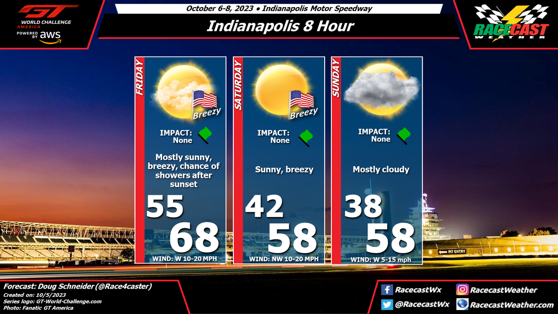
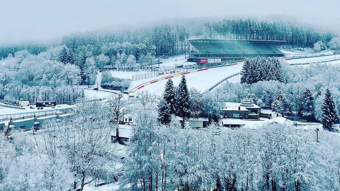
A low pressure system is still expected to track south of Belgium over the weekend, bringing rain to Spa mainly on Saturday night.
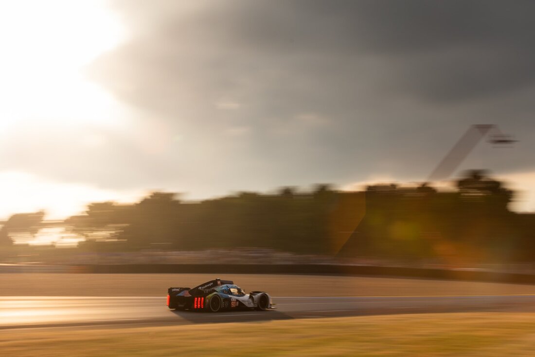
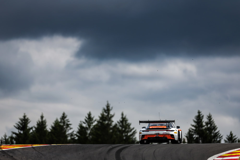
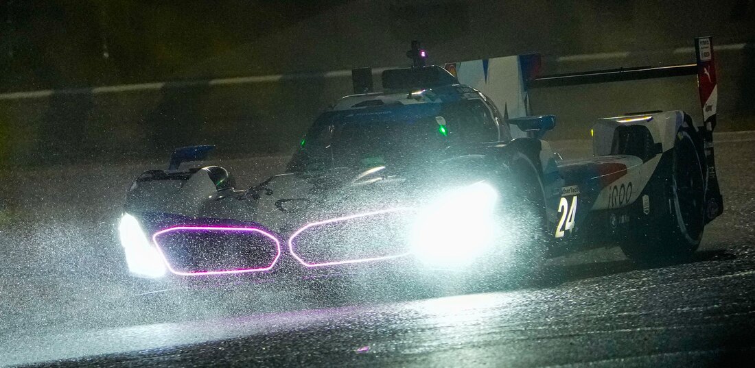
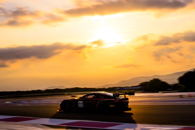
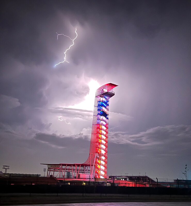
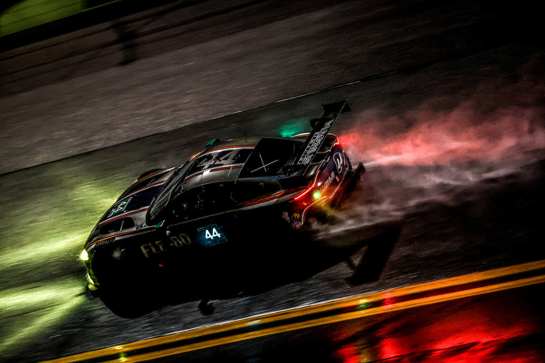
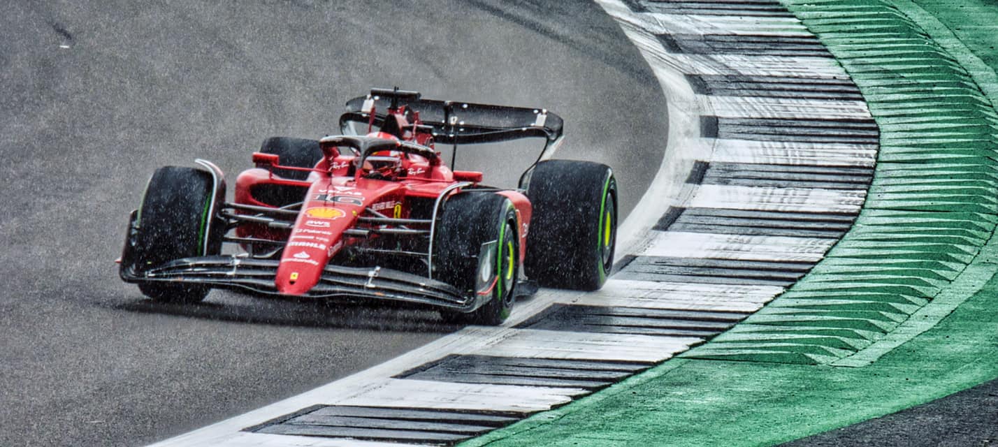
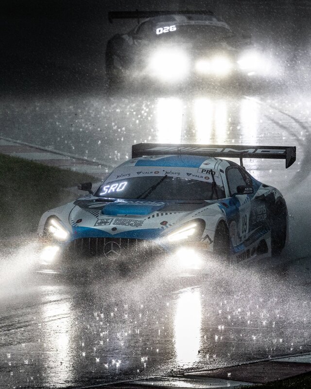
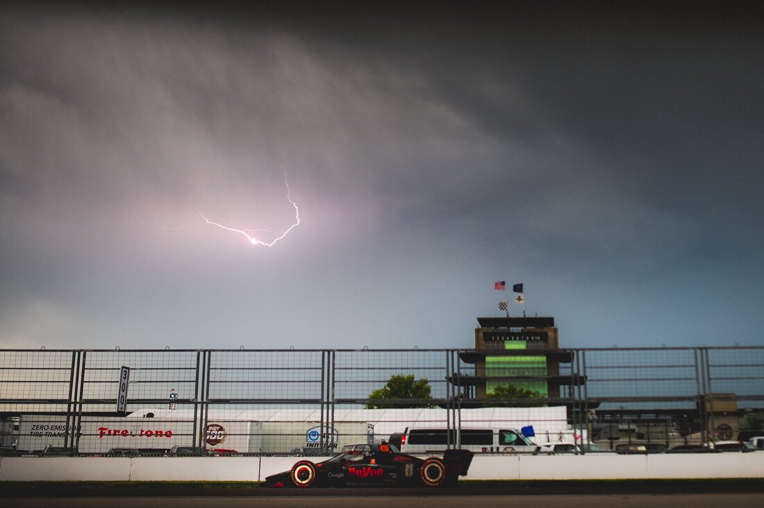
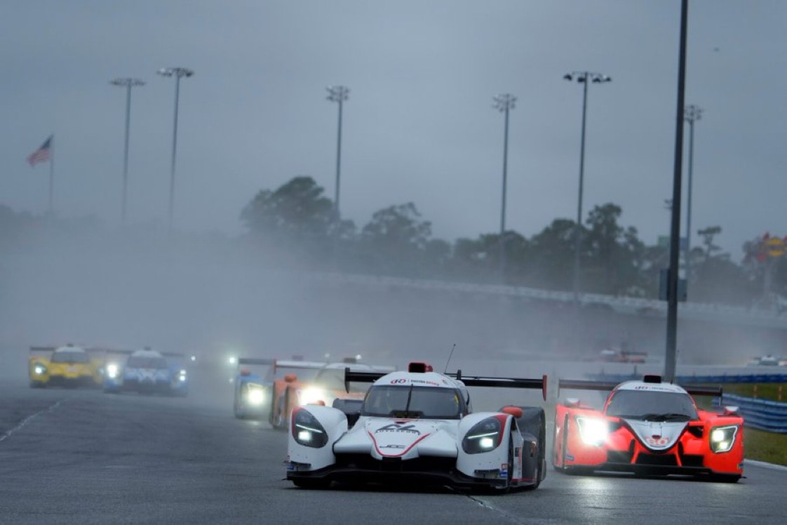
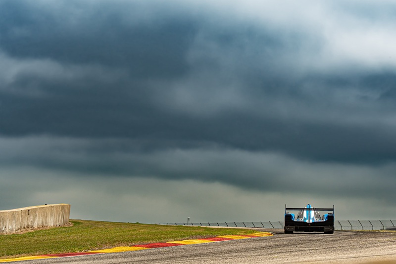
The first several hours of the race are expected to be nice, with clouds increasing through the day and pleasant temperatures. Showers are expected to spread in from the west late in the day or evening. Sunset at Spa is around 9:52 pm, and rain will likely start between 8 pm and 10 pm. During the evening hours, a few thunderstorms maybe possible in the area, and if a storm moves over the track, it could produce a brief heavy downpour. Otherwise, on/off rain of light to moderate intensity can be expected through the night. The showers will decrease in coverage by sunrise on Sunday, but could still be scattered in the area until around noon on Sunday. Sunday afternoon will have decreasing clouds and an increasing northwest wind. The total amount of rainfall during the race is expected to be between 12 and 25 mm, or between 0.5 and 1 inches. It would not be surprising if there was a period of the race that was red flagged due to the combination of rain and darkness, but I am confident that wet tires will be needed at the very least. By Doug Schneider Click images to enlarge A couple of weather systems will affect eastern Belgium over the course of the weekend, which will likely result in some wet periods, mainly during the 24 Hour race.
On Thursday, a cold front will be moving into the region from the northwest. Warm, moist air ahead of this front will allow for some scattered showers and thunderstorms to develop Thursday afternoon around Spa-Francorchamps. The front will move through the area Thursday night, and settle south of the area across France and Luxembourg. A dry air mass will build into Belgium behind the front on Friday, making for a very nice day with plenty of sunshine and comfortable temperatures. The front to the south will stall and be the focus for a developing low pressure system over France on Saturday. As this low develops in western France, it will spread increasing clouds and moisture into Belgium through the day. A few showers are possible late in the day, but the bulk of rainfall with this system will come in the overnight hours into Sunday as it tracks east along the stalled front. Exact timing is uncertain this far out, but should come into better focus later in the week, so stay tuned for updates. I do think that it is likely that there will be rain during the race, and potentially an isolated thunderstorm. How much rain will fall is also unclear at this time, but it could be in the range of 5 mm to 20 mm, or 0.15 to 0.75 inches. That's a wide range, but I should be able to narrow that down with later forecast updates. By: Stephen McCoy A dreary week looks to be in the cards for the week ahead for the 24 Hours of the Nurburgring.
A stationary front is currently spread over much of central Europe, extending from a surface low pressure system located over the North Sea. This front will gradually progress to the southeast through Thursday. With the front located to the south of Rhineland-Palatinate region, winds are expected from the north, bringing cool, moist air in from the coastal areas. There is a likely chance for widespread showers throughout the day, with an isolated chance for thunderstorms further into the afternoon; this is primarily due to opposing winds from the north and south creating convective potential as they meet along the front. A secondary low is projected to form along the aforementioned front Thursday into Friday as it interacts with the warmer waters of the Ligurian Sea. Upper level steering flow will send this surface system to the northeast, allowing winds over Nurburg to continue from the north as they move cyclonically around the center of this low. This will maintain similar conditions to Thursday, though with a lower chance for precipitation. Some amounts of afternoon heating may cause a few isolated showers across the region. This second low pressure system is expected to remain relatively stationary over the borders of Germany, Czechia, and Poland through the remainder of the weekend. As such, there will be a continuation of conditions observed Thursday and Friday, though with another elevated probability for rainfall Saturday as increased moisture once again moves in from the North Sea. Lingering showers may extend through Sunday morning. By Doug Schneider Click on images to enlarge Not much has changed in the expected weather for the Bathurst 12 Hour with today's forecast update. Scattered afternoon showers and thunderstorms will be in the area on Friday, with about a 50% chance of a storm moving over Mount Panorama. The chance of afternoon showers and thunderstorms continues into Saturday and Sunday, with very little change in the pattern. There is a little less moisture and instability, so the chance of a storm at the circuit those days is about 30%. Lightning and a brief downpours will be the main impacts with any storms that move over the circuit.
I plan to have a forecast with the detailed weather conditions during the race posted before the race starts. Be sure to follow our X account for radar updates during the race - @RacecastWx. By Doug Schneider Click images to enlarge Afternoon showers and thunderstorms could affect practice sessions on Friday at Mount Panorama, but the chance of impacts during the race is low.
The pattern across Australia later this week will feature a high pressure ridge near the southern coast of Australia, across Tanzania to New Zealand. This will produce an easterly flow from the ocean to inland New South Wales. Moisture from the ocean running into the Blue Mountains will result in some afternoon showers and thunderstorms popping up each day, tracking west toward Bathurst. Friday is expected to have scattered coverage of showers and storms around Bathurst, due to instability being a little higher that day. Saturday and Sunday will have less coverage due to less instability, with only isolated showers and storms in the area. Temperatures will be warm each day, in the 80s F and upper 20s to near 30 C. For those of you in the United States, the Eastern Time Zone is 16 hours behind the time in Bathurst. The race is scheduled to begin at 5:45 AM Sunday Australian Eastern Daylight Time, which is 1:45 PM Saturday in the Eastern Standard Time zone. By Doug Schneider The end of 2023 is upon us, and that means it's time for our annual gallery of the best photos combining our two favorite things - weather and racing. 2023 was a great season for race fans, with tons of action and excitement in IMSA, IndyCar, F1, and SRO World Challenge. We can't wait for the 2024 season to start, and we will be back in a few weeks with the forecast for the Roar Before the 24 at Daytona. You can see our full schedule of race forecasts in the link at the top of the page. We are making a couple changes for next year. Scott Martin is stepping down from our team due to a new job and time commitments. Scott helped me start Racecast Weather 9 years ago, and he will be greatly missed. As a result, we will not be forecasting for SRO World Challenge America races. However, we will continue to have forecast for SRO's IGTC races. Harris will continue to provide you with forecast for Formula One. Stephen will return and focus on forecasts for the IndyCar season. And I will be back with forecasts for all IMSA events. We wish you a Merry Christmas and a Happy New Year. Thanks for following! By Doug Schneider After a wet day today, the rest of the Indianapolis 8 Hour activities will likely have dry weather, but with cool and breezy conditions.
Today's practice sessions at IMS have been affected by rain, associated with an upper level trough and an approaching cold front. This front will move through the area this evening. Behind this front on Friday, nice weather is expected, with mostly sunny skies and breezy conditions through the day. Highs will peak in the upper 60s. On Friday night, another cold front will pass through the area. It may bring some showers to the Speedway, but I expect that it will arrive after 8 pm, after the qualifying session ends at 7 pm. It is possible that some showers could arrive earlier than that, but I think the chance of rain affecting the qualifying is low. Behind the second cold front, temperatures will get much colder. Lows on Saturday morning will be in the lower 40s, with daytime highs only in the upper 50s with sunny skies. The northwest wind will continue to bring cool temperatures through Sunday, with lows in the 30s and highs in the 50s. Clouds will increase on Sunday as a weak upper level disturbance crosses the area. |
Social Feeds
Authors
Doug Schneider Partners
Categories
All
Archives
December 2024
|