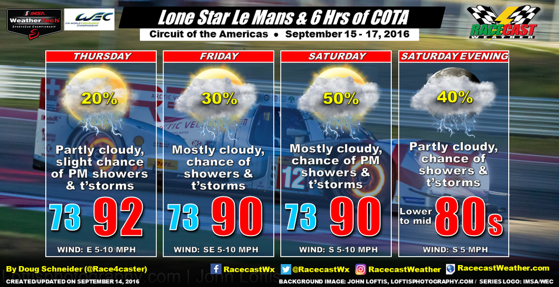
Thursday looks much the same as today, with scattered cumulus clouds popping up in the afternoon, and a slight chance of a shower or thunderstorm. The timing of any showers appears to favor the 3 pm to 8 pm time frame. Again, highs will be in the lower 90s, with a heat index in the upper 90s. If you're going to be at the track, be sure to drink plenty of water and take frequent breaks in the shade.
On Friday, the wind shifts to the southeast, which brings a little more moisture off the Gulf of Mexico, so the chance of an afternoon shower or thunderstorm rises slightly compared to Thursday. Still, I don't expect a washout at all, possibly a slight delay if a storm happens to move directly over the track. With a few more clouds around, temperatures will top out near 90 degrees, but with the humidity, it will feel muggy.
Moisture continues to increase into Saturday, and the approaching front will be just north of Austin. This should result in scattered showers and thunderstorms around the track, mainly between 3 pm and 9 pm. The chance of one of the storms hitting the track is around 50%. Again, the day won't be a washout, but there could be some delays if the heavy rain and lightning makes a direct hit.
We'll have our live radar and lightning display running in the link at the top of the website.
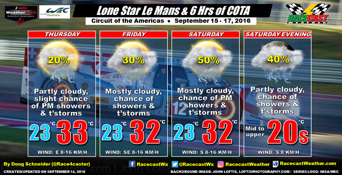
The forecast graphic in Celsius and KM/H:


