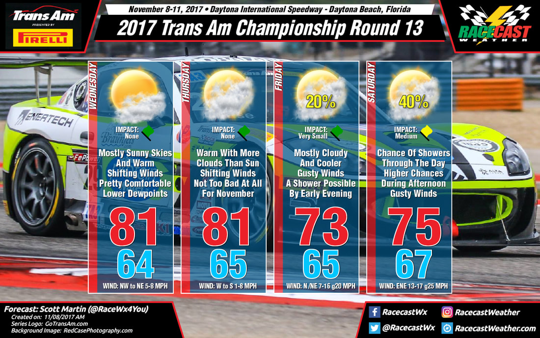
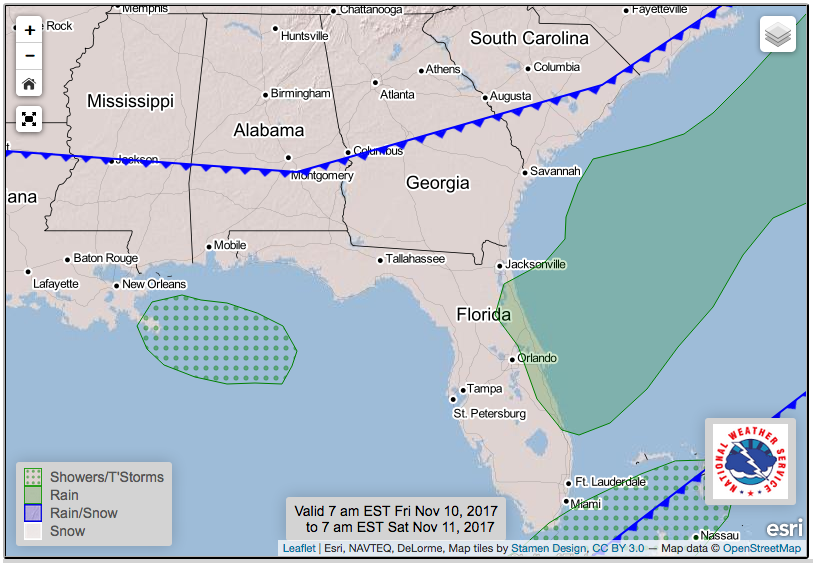
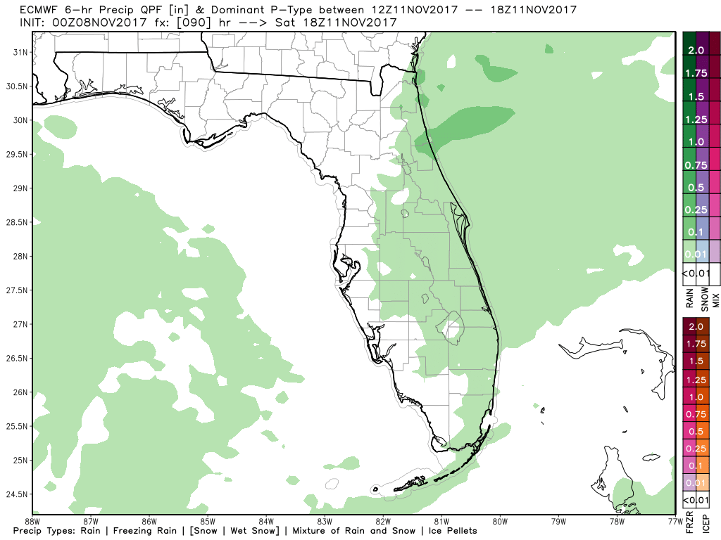
By Thursday morning, the cold front has nearly moved through the entire state and will be well south of Daytona Beach. We'll have a few more clouds in the forecast with shifty winds, but it will be another day without rain (at this point). The afternoon high will be in the lower 80s once again, and winds will be out of the west to start, but shift out of the south by the afternoon. Any rain activity will form offshore, and that southerly wind will help with keeping them that way.
This will be an interesting forecast for race day, so be sure to follow our main Twitter feed @RacecastWx as we will be using it as our one-stop place for forecasts and updates on Twitter. We'll continue to have our personal accounts as well, but we'll only use those to retweet our forecast and for personal use. As always, our forecasts will still be featured on our Facebook page along with our Instagram account. Radar will be up and running on Friday. Thank you and have a great Wednesday.


