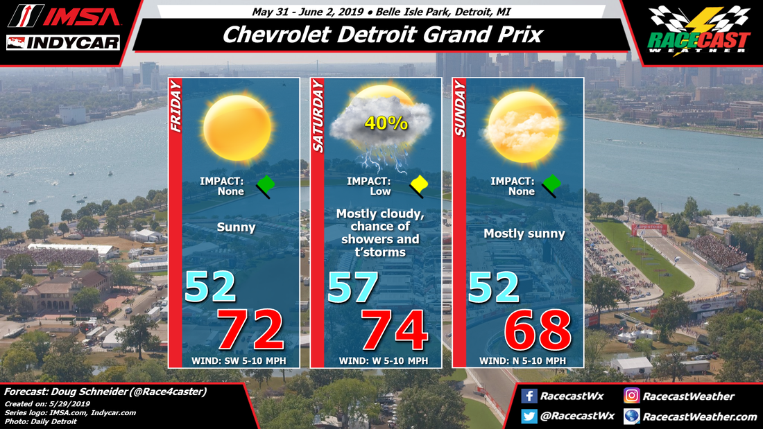
Friday continues to look great as a cold front will move through the area on Thursday and a dry and cool air mass will follow it. With plenty of sunshine, highs on Friday will be in the lower 70s.
Another low pressure system and its associated cold front will approach the area on Saturday. One model, the GFS, brings this front through on Saturday morning, which would put the chance of rain mainly in the morning and leave a dry afternoon. However, two other models that I have more confidence in, the NAM and ECMWF, have their rain chances with the cold front coming in the afternoon and evening. I think this later timing is more likely to occur than the earlier timing, but I can't rule out showers at any time of the day. With the afternoon timing of the cold front, there may be more instability available for thunderstorms, so I've added that to the forecast. This does not appear to be a rain-out situation at all - just scattered showers and possibly a thunderstorm in the area for a brief period, so I have the Impact as low. Even if a storms passes over Belle Isle, it should only produce around a tenth of an inch of rain.
Behind the cold front on Sunday, there will be mostly sunny skies, low humidity, and cooler temperatures. Morning lows will be in the lower 50s, with highs in the upper 60s.


