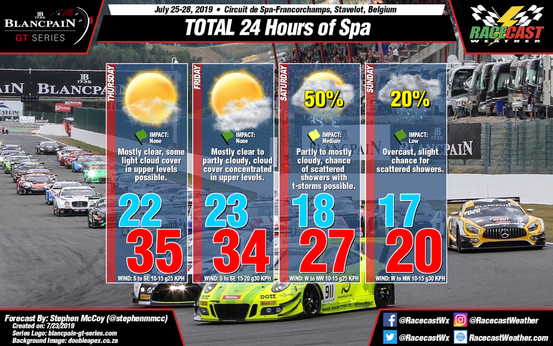
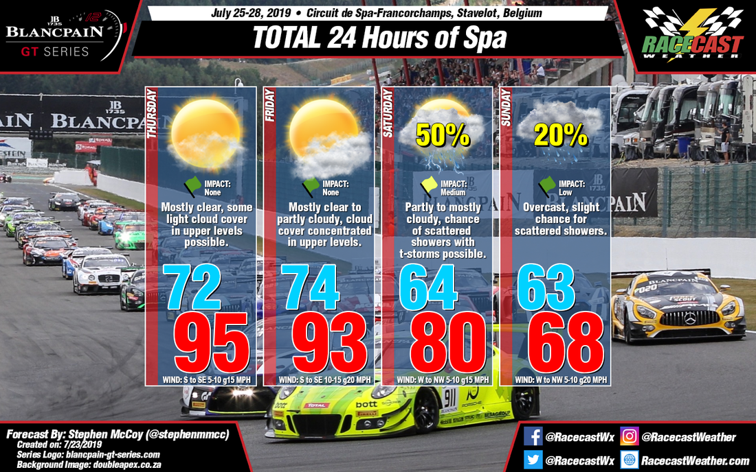
On Thursday, surface winds are still expected from the south to southeast due to the combination of a high pressure system to the northeast and the aforementioned low pressures system to the northeast of the region. An upper level ridge centered over central Europe will suppress the air closer to the surface which will lead to warmer temperatures and mostly clear conditions through the day.
In the previous forecast, the models indicated that the cold front off the low pressure system would move through the Benelux region during the day on Friday. Since then, a trend among the models has pushed the frontal passage closer to Saturday with the it possibly stalling into a stationary front. This later passage means that Friday will have similar conditions to Thursday, though slightly cooler as the upper level ridge begins to move northwards out of the region. The models look to be in a general sense of agreement with timing of the initial passage as output suggests the high temperature for the day will occur in the early afternoon, a few hours before the high temperature usually occurs. Much like in the initial forecast, there is a chance of scattered showers with thunderstorms possible behind the front, but isolated showers ahead of the front are also not out of the question. Surface winds during the day will be continuing from the south to southeast initially before turning to the west to northwest after the front passes.
A lot of uncertainty has arisen for Sunday's conditions as the models are not in agreement for the front's position in the region. The GFS and German models indicate that the front will fully pass through the region, with temperatures dropping to the upper 50's °F, low-to-mid teen's °C during the day as winds pile in from the west to northwest. Meanwhile the ECMWF shows conditions much warmer as the front stalls just to the west of the region, causing warmer temperatures closer to those seen on Saturday. In the former scenario, precipitation has a slight chance to linger into the morning, though without the convective environment from Saturday. Whichever the case may be, the conditions in the graphic will most likely change as the race draws closer.


