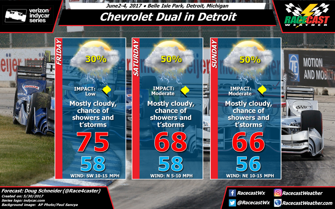
The position of the front is the main factor that is causing a lot of uncertainty about what will happen. It now appears that the front will stall near the Detroit area on Saturday, which will keep a chance of showers and thunderstorms going all day. It is possible that the models will flip-flop again and push the front farther south, but it's a 50/50 chance until we get closer to the weekend and the models start to show some consistency.
On Saturday night, a low pressure system is expected to develop near Wisconsin and track east along the front. As the low moves into Michigan on Sunday, this will result in a stronger southerly flow of moisture up and over the front. The path and position of this low will greatly affect the timing and amount of rain at the track on Sunday, and with the models disagreeing on these details, I cannot be more specific than saying that there is a 50% chance of rain. There is some potential for quite a bit of rain to fall on Sunday, or there could be very little, depending on what model you choose to believe.
I'll be watching for changes every day, and I'll keep updating this forecast through the week as needed, so stay tuned.
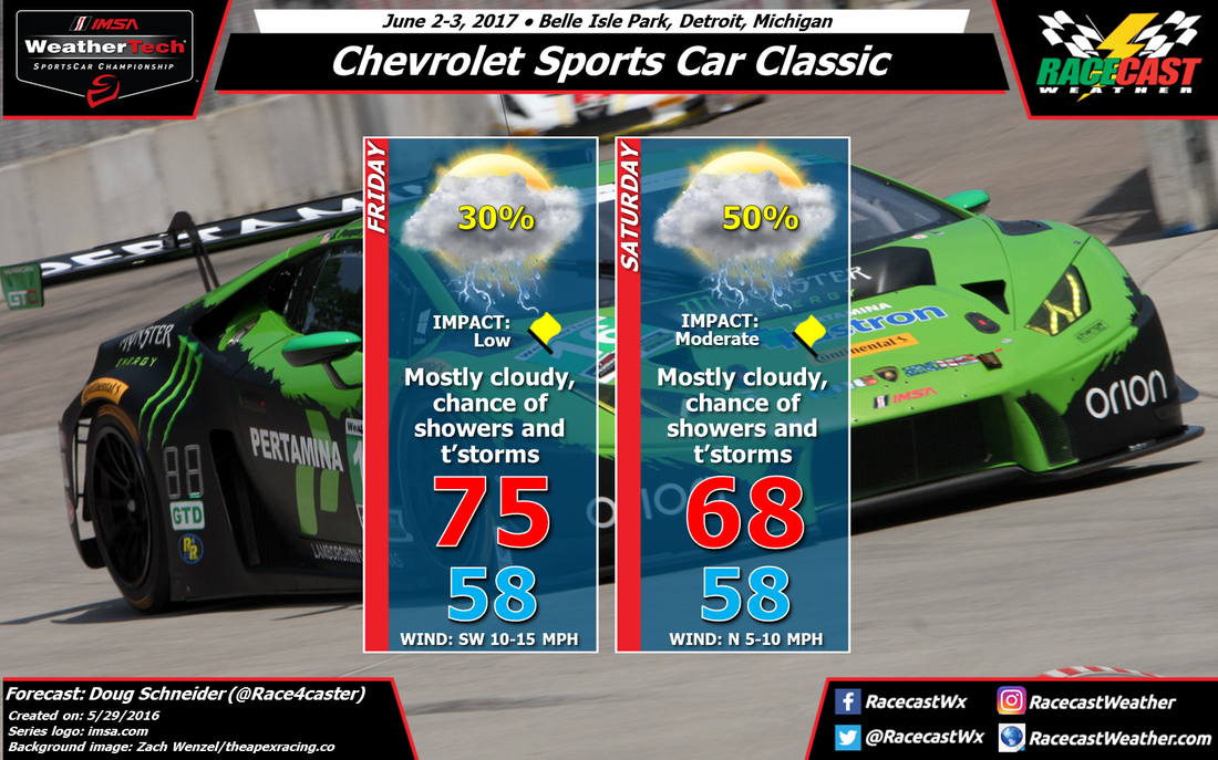
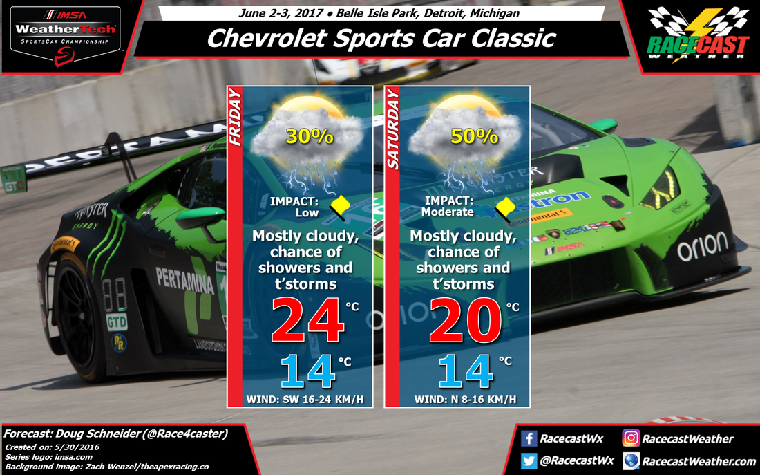
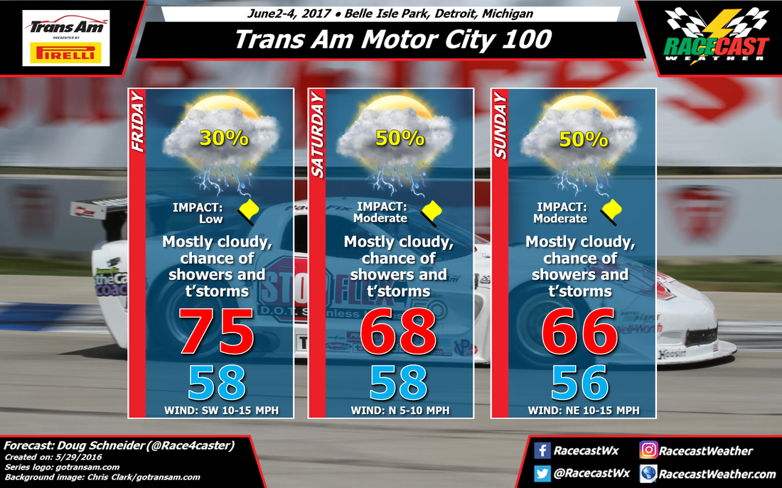
Here are the forecast graphics for IMSA and Trans Am:


