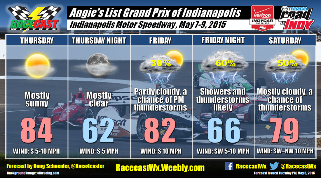
Thursday will feature a high pressure ridge over Ohio and West Virginia that will be shifting east through the day. There are some forecast models that show a few afternoon showers developing on Thursday, but I think the chances of one occurring at the Speedway are too small to be worthy of mentioning in the forecast. The southerly flow will provide warm temperatures on Thursday, with highs reaching the mid 80s.
On Friday, the high pressure ridge will be off the east coast, and a cold front will be approaching from the northwest. Clouds will be increasing through the day, and there could be scattered showers and thunderstorms around the Speedway by late afternoon. IndyCar qualifying and the Indy Lights races could be affected if one of the scattered showers happens to hit the Speedway.
The cold front will still be northwest of the Speedway Friday night, but an upper level disturbance will be passing by overnight. If there is a bright spot in this forecast, it is that the best chances of rain appear to come at night, so there may not be too big of an impact on the racing. The cold front will be near central Indiana on Saturday. There will be a chance of showers and thunderstorms through the entire day, but I think the bulk of the rain will come with the upper level disturbance on Friday night and early Saturday. Right now, I'd put the chances of a dry Grand Prix above 50%, but that may change as there's still a lot of uncertainty in the timing of rain and the front.
Stay tuned for updates through the week as the weather comes into better focus.


