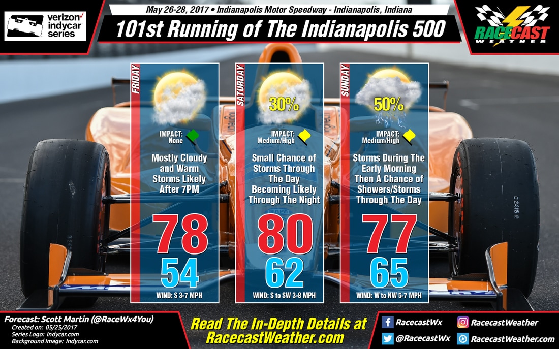
The good news is that I have removed any rain chances out of the forecast for the Carb Day Festivities and the running of the Freedom 100. Skies will be mostly cloudy and the high will top out around 78 degrees. Winds will be out of the south at 3-7 MPH. Storms will move in for the evening, but well after the Steve Miller Band completes their show.
SATURDAY
Storms from the overnight and pre-dawn hours should be coming to a end before 8AM when the gates open at the track. Skies will be mostly cloudy throughout the day, as there will be a break throughout the morning into the early afternoon hours. Shower and storm chances begin to rise after 2PM, but just slightly. Good news is that the main bulk of the storms will move in after 8PM, well after the track closes for the day. The afternoon high will top out around 80 degrees, and winds will be out of the south to southwest at 3-8 MPH. The chance of rain throughout the day at the track is 30%.
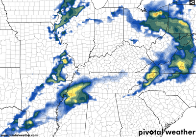
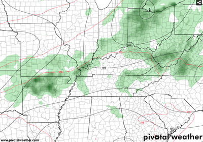
Here is where we may have some gnashing of teeth due to the weather. Looking at the latest model runs of the NAM and the GFS, there will be moderate to heavy rain/storms throughout the morning hours until 7-8AM. Then there will be a dry slot that opens of for Central Indiana from then until at least 2PM on both models (NAM-left, GFS-right), and the GFS keeps it dry until 8PM. So according to these model runs, the track should be dry for the scheduled race time. Double-checking with the NWS Indianapolis office, there are keeping the rain chances in throughout the day. Even though the amounts will be light, there is a possibility of a few delays. I'm going to side with the NWS right now until I can see when the high-resolution models come in to play. Skies will be mostly cloudy, and there will be a chance of rain throughout the day. The high will top out around 77 degrees, with winds out of the west to northwest at 5-7 MPH. Chance of rain as of now will be at 50%.
Once the timeframe for the high-resolution models come in to play, I can only cross my fingers and hope that the GFS and NAM models are correct. I will be able to nail the forecast down within 24 hours. Radar is up and running, so please feel free to use it and stay up to date with where the rain is happening.


