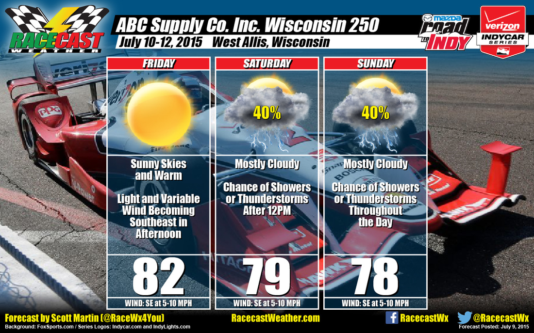
Skies should start off and remain sunny throughout the day on Friday, even though you may have one or two fair weather cumulus clouds float through. Temperatures will be warm, reaching the lower 80s. Winds will start off light and variable, but will start to blow out of the southeast at 5-10 MPH by the time the afternoon arrives. Chance of rain is 0%.
Saturday will start off partly to mostly cloudy and dry, but a shortwave trough developing off to the southwest will move northeast into the area during the day. Thermal ridging will bring low level southerly winds, which will increase instability during noon and the afternoon hours. Rain chances will increase during the afternoon hours. Daytime highs should reach the upper 70s to near 80. Winds will be from the southeast at 5-10 MPH. Chance of rain is 40%. The good news is most of the energy of the shortwave will stay south of the area, where the Storm Prediction Center has forecasted a marginal risk for severe weather.
On Sunday, another shortwave will move through the area, which will keep the rain chances in the forecast. Once again, models are having a hard time nailing down the timing. As of now, we'll go with mostly cloudy with a chance of showers or thunderstorms throughout the day. Daytime highs should top out in the upper 70s. Winds will be from the southeast at 5-10 MPH. Chance of rain is 40%.
Looks like the best thing to do for Saturday and Sunday is to keep a watch on radar for any rain developing. We offer a free, live radar for the area on our website. Please feel free to use it. Just click on the Indycar Radar link at the top of the page. I will be playing in a benefit concert on Saturday, so my input will be limited from 1PM through 5PM. I'll have updates for the rest of the weekend on the blog and on my Twitter feed (@RaceWx4You).


