In the low levels, winds are expected from the east, allowing warmer, drier air to enter the region; this is in contrast to the general flow for the northwest as low level winds from the west normally bring cooler air off the Pacific. In the upper levels, a high pressure ridge is expected to move through the region over the next few days and as a result, light winds will be present, disrupting the general flow in the upper levels, and trapping the warmer air closer to the surface.
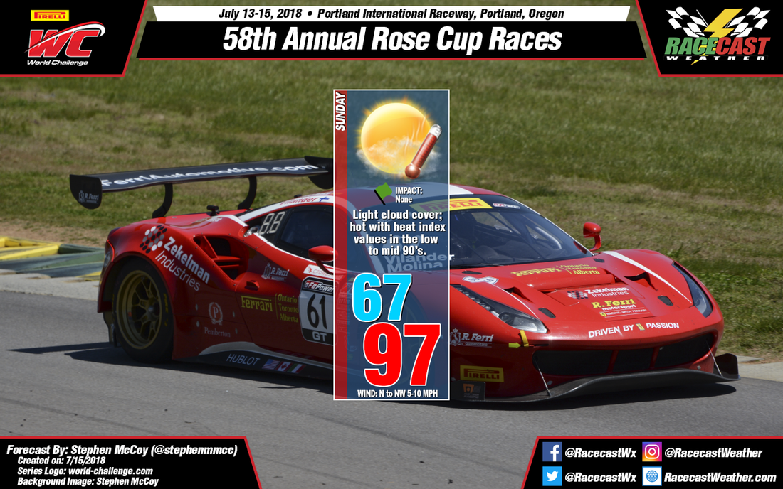
The high temperature forecast for Sunday has only gone up in the past few days. The latest model runs suggest much of the same, now indicating a high in the upper 90's. The National Weather Service office in Portland has issued a heat advisory for the area from 10am PDT until Monday at 8pm PDT as even with low relative humidity, heat index values will still reach the low to mid 90's. Surface winds are expected from the north and northwest, as they have been all weekend, with wind speeds increasing as the day progresses; the maximum wind speeds will be reached around sunset.


