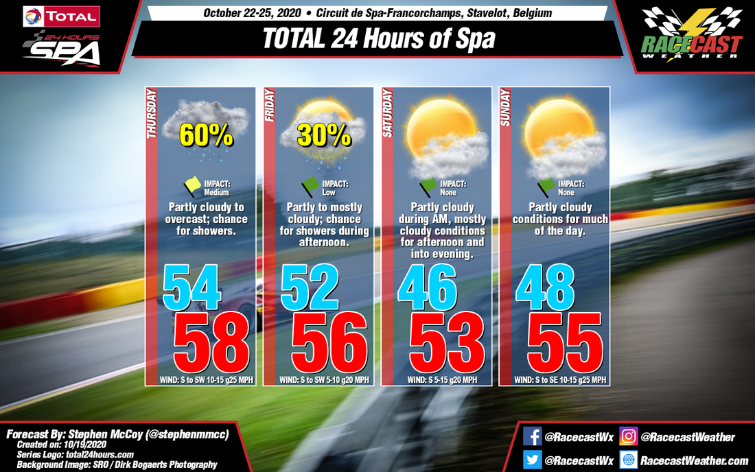
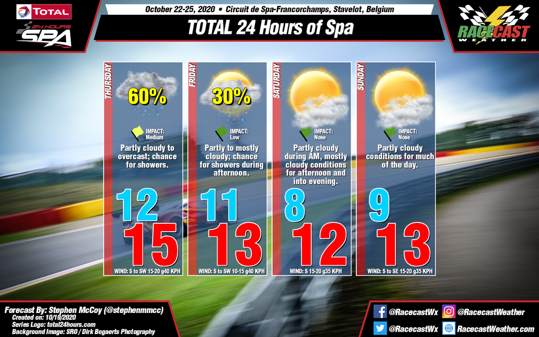
On Wednesday, a surface low pressure system is expected to move northeastward through mainland Europe, bringing warmer temperatures, strong winds and a likely chance for precipitation to the region. Entering Thursday, the system will be located over Scandinavia, with a front trailing behind to the southwest. The front is expected to sit mostly stationary over the region during the day, resulting in a chance for precipitation along the boundary. South to southwesterly winds will cause temperatures to be relatively consistent through the day, with a high only a few degrees warmer than the morning low. In addition, conditions will be mostly cloudy to overcast in the low levels through the day. The stationary front will move eastward out of the region overnight Friday, however a cold front from a low pressure system north of the British Isles will move into the region Friday afternoon, bringing a chance for scattered showers. South to southwesterly winds continuing overnight will keep temperatures relatively consistent with Thursday before the cold front passes and cools temperatures into Saturday.
After Friday's cold front passage, drier and slightly cooler conditions will move in for the 24 hour. Winds will shift towards the south to southeast for the race as another cold front begins a lengthy approach towards the region, passing through late Sunday or early Monday. Current model output is mixed on the passage time, though an earlier passage could mean heavier cloud cover for the race ahead of the front, with a later passage resulting in clearer conditions. An earlier frontal passage could also bring a slight chance for isolated showers, however for now there isn't enough to definitively say if rainfall will occur.


