Click on the forecast images to enlarge
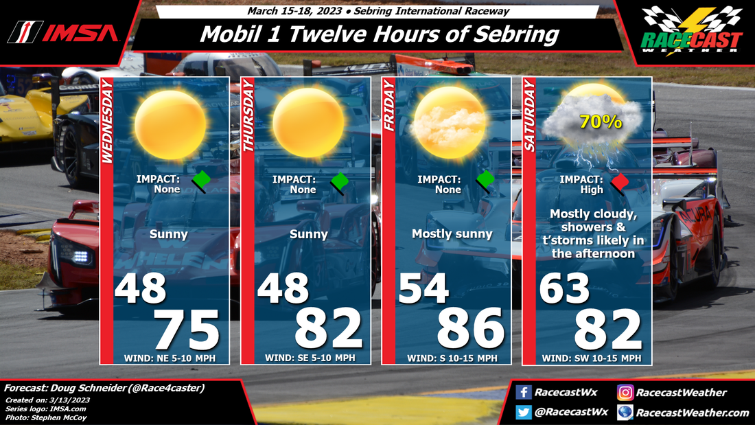
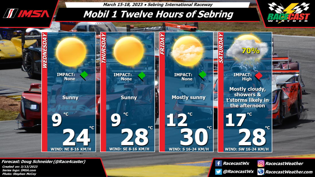
A cold front is expected to approach the area on Saturday, and cross Sebring late Saturday night. Rain is likely ahead of the front, in the form of numerous showers and thunderstorms.
The primary hazard with these storms will be lightning. I expect that there will be delays during the race due to lightning in the area. Other potential impacts from storms will be heavy downpours and gusty winds. Fans at the track should be prepared for rainy and windy conditions, and have a plan to seek shelter when lightning is in the area.
The uncertainty with these impacts is when they will happen. There will be a warm and unstable air mass ahead of the approaching cold front across southern and central Florida, so thunderstorms could pop up early in the afternoon. However, it looks like the models are showing the bulk of rain occurring in the late afternoon and evening hours, during the second half of the race. The thunderstorm threat will linger into Saturday night for campers at the track, as the front isn't expected to move through the area until late in the night or early Sunday morning. Since we are still several days away, the exact timing remains unclear, but that should come into better focus later in the week. Check back here for updates.


