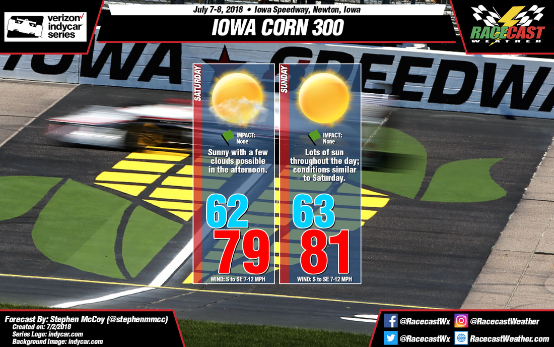
As the race weekend approaches, an upper level high pressure ridge will build in over the northern Great Plains, routing the jet stream into southern Canada. The flow of the jet stream will bring cool, dry air into the region in the upper levels. At the surface, a high pressure system is expected to track through the Midwest late in the week as it moves east towards the Atlantic. Cooler air will be wrapped around the system from southeastern Canada and will make its way to Iowa from the south and southeast. A slight temperature inversion in the low and mid levels will keep conditions mostly clear, though a few clouds could break through during the afternoon.
For Sunday, the center of the upper level ridge will stretch eastward across the Great Plains, with Iowa on the eastern edge. Light winds will shift to the west, continuing to bring dry air into the region. The surface high pressure system will continue to bring winds from the south and southeast. A stronger temperature inversion is expected in the low levels for the day, resulting in clear conditions throughout the majority of the day.


