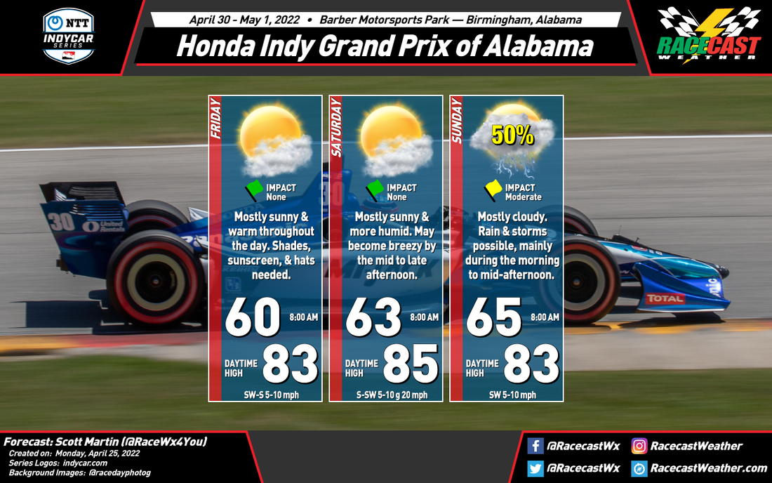
FRIDAY
Skies will be mostly sunny throughout the entire day at the track, with mild temperatures to start with. The 8 am temperature will be around 60 degrees and will warm up to around 83 degrees for the afternoon high. Winds will be out of the southeast to south at 5-10 mph and the chance of rain is 0%.
SATURDAY
It will be another mostly sunny day at the track, but it will feel a little more sticky out there as humidity will be increasing throughout the day. The 8 am temperature will start off around 63 degrees and will warm up to around 85 for the afternoon high. Winds will be out of the south to southwest at 5-10 mph for much of the day, but there may be a few wind gusts that will reach as high as 20 mph during the mid to late afternoon. While rain is not expected during on-track activity, a few showers with some rumbles of thunder may be possible around and after sunset.
SUNDAY
Now, here is where the uncertainty comes into play. The GFS model (American) is showing that a cold front will be approaching Alabama during the day, but the latest run has the moisture staying away from the track throughout the entire day. However, the European model shows that the front will be in the process of moving through the state during the day that will bring showers and thunderstorms to the area for much of the day. While the cars can run in the rain, they will not run if lightning is close by. As of now, I will go with a 50% chance of rain with mostly cloudy skies. 8 am temperature will be around 65 degrees and the afternoon high will top out around 83 degrees. Winds will be out of the southwest at 5-10 mph.
This is also the main severe weather season in Alabama, and with some instability available in the atmosphere on Sunday, I can't rule out a strong storm with gusty winds, most likely during the morning to early afternoon hours. I'll have updates throughout the week. Also, if at the track or listening from home, I'll be on IndyCar Radio giving forecast updates from the track throughout the event weekend.


