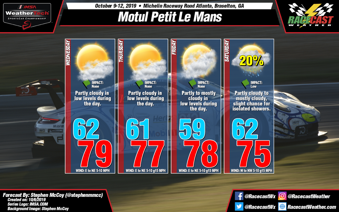
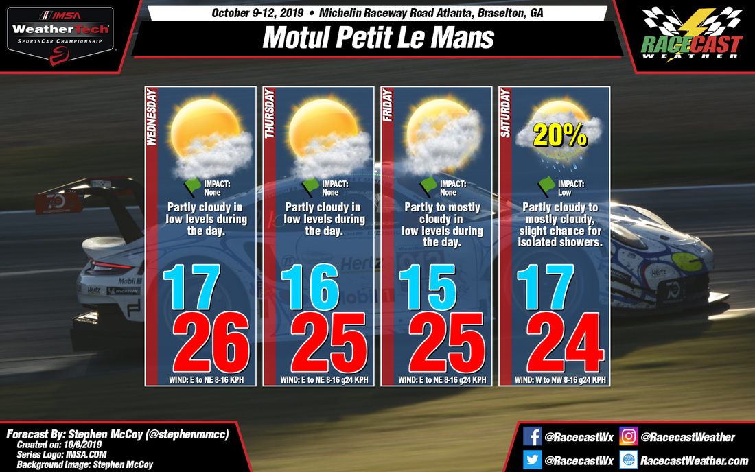
Conditions for Wednesday, Thursday, and Friday are very similar in terms of the overall atmospheric set-up. A surface high pressure system will move into the Midwest region behind a cold front on Tuesday. The anticyclonic rotation around the system will cause winds over the Southeast to be largely from the east to northeast, slightly amplified by a possible tropical cyclone in the Atlantic. An upper level ridge will keep the surface system fairly stationary over the following days, finally relegating its influence over the region Friday into Saturday. Cloud cover on Friday may be slightly higher than earlier in the week as low level winds bring moisture from the Atlantic to the area as they are directed more from the east.
Meanwhile, an upper level trough is expected to move eastwards across the US and allow a surface low pressure system to develop on the eastern side of the Rockies around mid-week. The deepening of the trough will force the system towards the Midwest Thursday into Friday with a cold front extending southwards into the Gulf of Mexico. The trough is anticipated to move over the surface low, causing it to stall over the Midwest Friday night into Saturday. However, the cold front from the system will continue to move eastward, approaching Georgia sometime during the day. The models at this point are split on when a frontal passage may occur. An earlier passage will bring a slight chance for showers during the morning and a cooler afternoon high temperature while a later passage would allow temperatures closer to those seen earlier in the week and precipitation further towards the evening. The front would also change wind direction, coming mainly from the south ahead of the front and shifting to the west to northwest behind the front. With the amount of subjectivity to the forecast this far out, it will likely change in the coming updates during the week.


