This animation of model-simulated radar shows how the rain might evolve from this evening to Saturday morning:
|
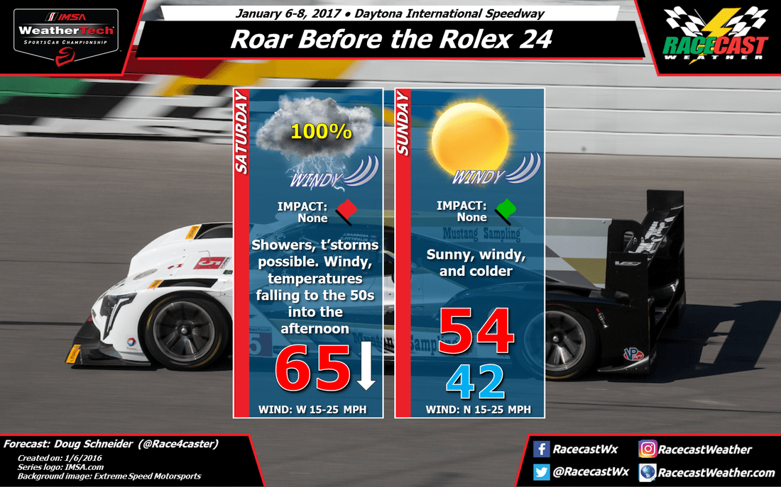
By Doug Schneider Rain showers are still expected at Daytona tonight and Saturday, which may limit testing at the Roar for at least part of the day. While there is a 100% chance of seeing measurable rainfall on Saturday, there may be an opportunity to get some rain-free running in late in the afternoon and the evening. Rain is expected to start at Daytona late this evening, most likely between 10 pm and midnight. A few thunderstorms may be possible at times overnight. Southwest winds overnight and Saturday morning will be blowing at 15 to 25 mph. A cold front will move through the area by mid morning, which will shift winds to the northwest, with windy conditions continuing. Showers will continue behind the front as well, though the threat of thunderstorms will end. The chance of showers will be decreasing in the afternoon, and I think the rain is likely be over by 4 pm. Total rainfall amounts at the track are expected to be around a half inch. The highest temperatures during the day will be in the morning, and temperatures will be falling from the mid 60s into the mid 50s through the afternoon. This animation of model-simulated radar shows how the rain might evolve from this evening to Saturday morning: Sunday will be sunny, but also windy and much colder. Winds will be from the north at 15 to 25 mph, and morning lows will only be in the lower 40s, with afternoon highs in the mid 50s.
|
Social Feeds
Authors
Doug Schneider Partners
Categories
All
Archives
December 2023
|


