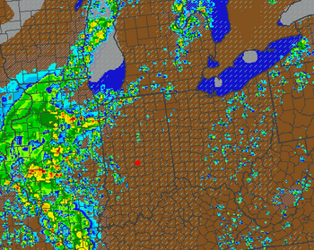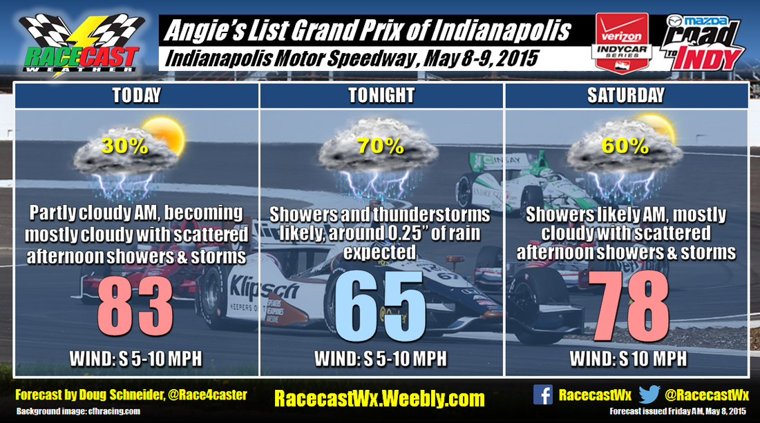
Today will start off partly cloudy, but clouds will be increasing through the afternoon. There are some thunderstorms in eastern Missouri this morning, and these will be tracking east-northeast through the day. I expect that the remnants of these storms will begin to arrive in central Indiana late this afternoon. This could bring some scattered showers near the Speedway in a window between 4 pm and 8 pm. It is possible that the showers could impact this afternoon's Indy Lights race. The image on the right is a model simulated forecast of radar reflectivity at 4 pm this afternoon. A few light showers are approaching form the SW, moving E-NE at this time, but the bulk of rain looks like it will come a few hours after that. Note that this is just a forecast from one model's output of what might happen, and not necessarily exactly what will happen.
The coverage of showers and thunderstorms should increase after 8 pm this evening, so I have the highest rain chances tonight. On average, most spots in central Indiana should see about a quarter of an inch, but if a stronger storm passes over the track, up to a half inch will be possible. I think the chances of severe storms are low at this time, but a few could be strong with frequent lightning.
The storms overnight are expected to linger into Saturday morning as a low pressure system tracks across Illinois into northern Indiana along a front. Once the low tracks into southern Michigan, most of the shower activity should come to an end. I think the window for this to occur will be between 8 am and noon. While I can't entirely rule out some showers through the afternoon, I think the coverage will be scattered enough that the chances of one hitting the Speedway during the Grand Prix are low. So although I have a 60% chance of rain on Saturday, I'd put the chances of rain during the race at about 30%.
Our Indy Radar link at the top of the page will be available through the event, and I'll have weather updates on Twitter as needed at @Race4caster.


