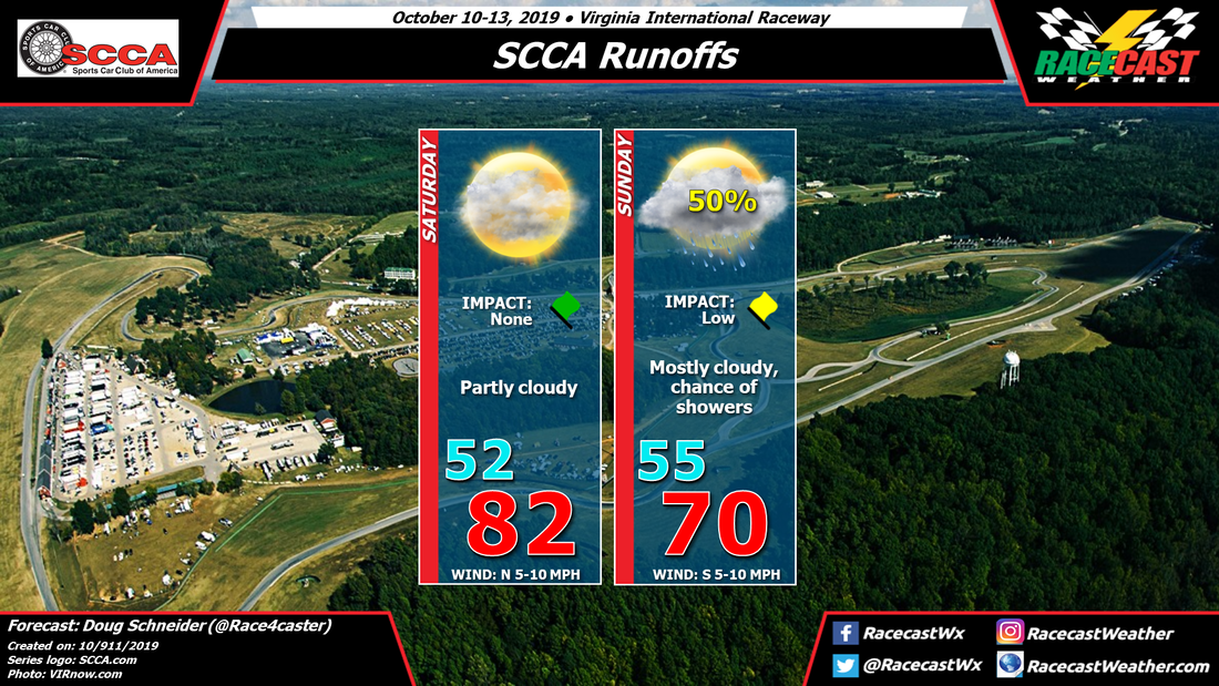
A cold front is expected to move into the area Saturday night, which is in line with the previous forecast thinking. However, the models are now showing this front slowing down and stalling as it moves into the Piedmont of NC and VA. It is expected to be located just southeast of VIR on Sunday. Meanwhile, an upper level disturbance will be approaching, and its interaction with this front will produce some showers in the area. Rain is possible any time of the day on Sunday, but it appears that the best chance of rain will come in the afternoon. Rain amounts in the neighborhood of a tenth of an inch can be expected. Since this isn't expected to be a heavy rainfall, and no lightning is expected, I kept the impact as low.


