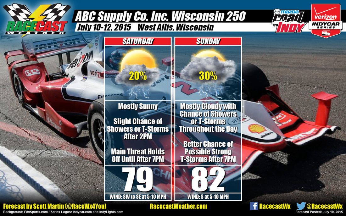
Models are showing that the shortwave is still going to make its way through the area, but the low level jet will not progress far enough north. This will actually allow the convection needed for thunderstorm development to actually diminish. The skies will be mostly sunny to partly cloudy, with daytime highs reaching the upper 70s to near 80. Winds will be from the southwest to start the day, but will shift to out of the southeast at 5-10 MPH during the afternoon. Chance of rain before 7PM is only 20%
Sunday looks like it will have the better rain chances of the two days, but not too bad. Models are showing that instability levels will be high enough for thunderstorms, but GFS forecast soundings are showing a cap (at 850 mb) in place over the area for the afternoon. This may hold the development off until later in the afternoon, hopefully after all of the activities are over. Skies will be mostly cloudy, with highs reaching the lower 80s. Winds will be from the south at 5-10 MPH. Chance of rain is 30%.
There is a warm front that will move across the area late Sunday evening. Let's hope that its arrival is too late for the cap to break before the activities are over. Once the cap breaks, there is a possibility for the development of strong to severe thunderstorms. Looks like if that happens, strong winds and large hail would be the main threat.
Be sure to keep up to date by utilizing our live Indycar radar on our website. I'll be performing in a benefit concert in my community starting at 3PM CDT, so updates from me (@RaceWx4You on Twitter) may be few and far between until the show is over at 7PM. I'll be back with a forecast update for Sunday sometime after 9PM CDT tomorrow night.


