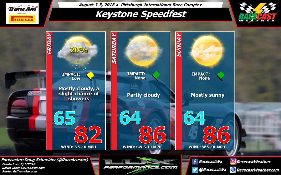
A front will be moving across western Pennsylvania on Friday, and while much of the moisture and rainfall with the front will occur well to the east of PIRC, there will still be a slight chance of a shower in the vicinity of the track. If there are showers around, they will be light and short-lived, so the impact on any on-track activity should be low. With mostly cloudy skies, temperatures will peak in the lower 80s.
Through the weekend, a high pressure ridge near the Atlantic coast will build toward the west and north. This is not different from what the models were showing on Monday, however one model (GFS) is beginning to hint at some afternoon showers and thunderstorms developing on Saturday and Sunday. For now, I think the chances of this happening are too small to add a chance of rain to the forecast, but it will bear watching as we get closer to the weekend. With more sunshine expected and the building ridge, temperatures over the weekend will be getting warmer, with highs in the mid 80s.


