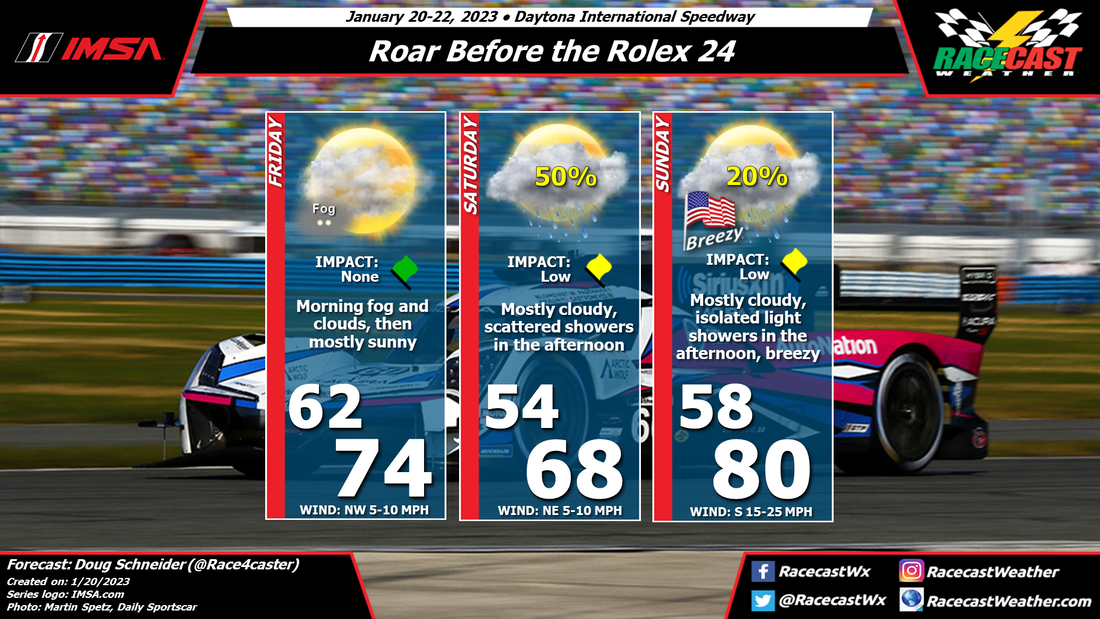
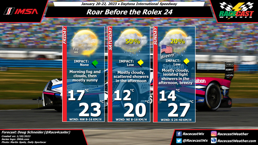
The front is expected to stall across central Florida, just south of Daytona. On Friday night, a low pressure system will take shape over the Gulf of Mexico, which will cause the front to lift back to the north. Moisture will begin spread over the warm front on Saturday afternoon, which will lead to scattered showers in the Daytona area. This could affect the late day sessions. The highest chance of rain will be Saturday night as the front moves over Daytona.
Sunday will be quite mild as the warm front will be across Georgia, and a southerly wind strengthens. Winds will be gusty, up to 25 to 30 mph at times. Most of the day will be dry, but there is a slight chance of some isolated showers in the area, mainly in the afternoon.
There is good agreement among the models that a broad upper level trough will be over the eastern United States for the latter half of next week. At the surface, they show a cold front moving across Florida around Wednesday or Wednesday night, followed by a large surface high pressure area over the Gulf Coast region and the Southeast.
From this pattern, we can expect a good chance of dry weather through the majority of the event. The possible exception to the dry weather may be on Wednesday with the cold front passage, and possibly late Sunday as a low pressure system develops over the Gulf. Temperatures below normal can be expected for Thursday through Saturday. For Daytona, the normal high temperature is near 70, with a normal low temperature in the upper 40s. I expect that highs will be mainly in the 60s, and lows in the 40s. It does not look like last year, which had very cold temperatures around freezing on Sunday morning.
I'll have a forecast graphic with all the details posted on Monday morning.


