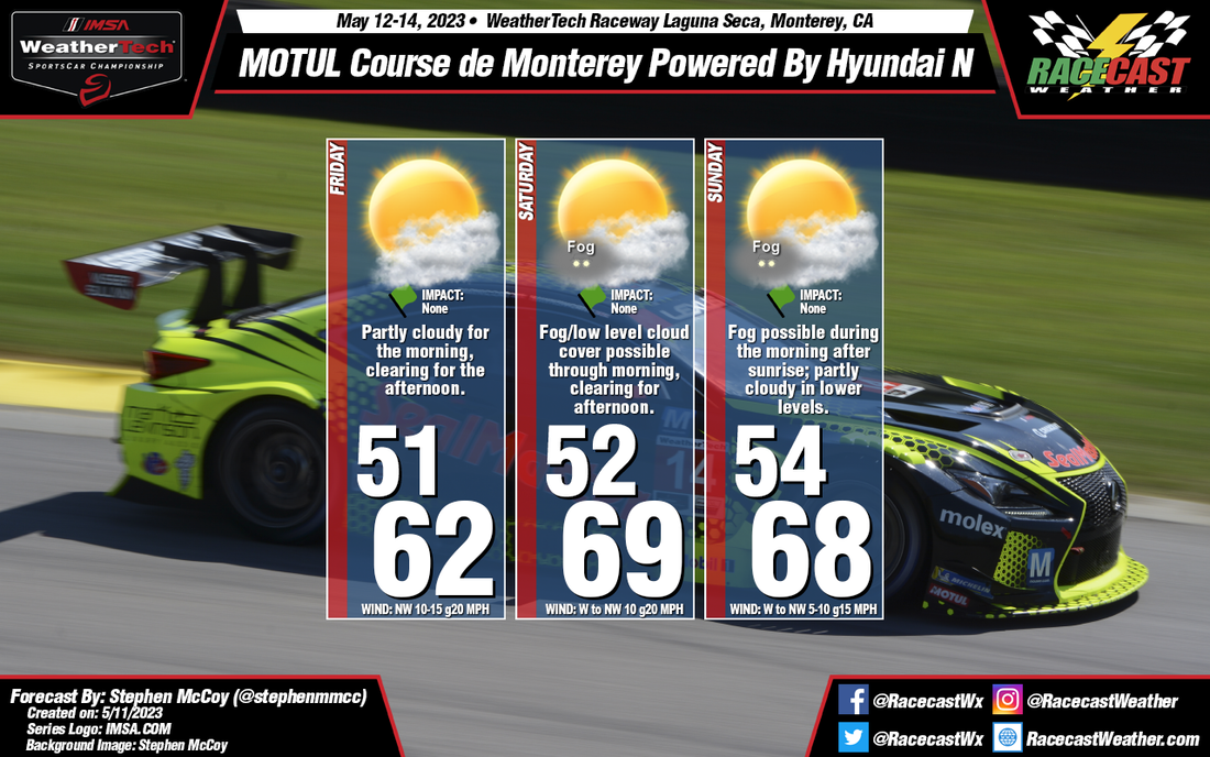
The synoptic setup for the latter portion of this week remains similar, however the surface trough mentioned in the previous forecast is now expected to be located a bit further east, approaching the region closer to Sunday. A weaker pressure gradient will result in less cold air advection to the Monterey Bay area. In addition, what was rightfully pointed out, WeatherTech Raceway Laguna Seca is actually a few miles further inland than the city of Monterey so the cooling effect from the bay winds will not be as powerful at the track as directly on the coast. However, even being a few miles away, there is still a possibility for fog during Saturday and Sunday mornings, which will clear into the afternoons; partly cloudy conditions may continue in the low levels.


