Warm and dry conditions will be the story over the area, as a decaying frontal boundary stalls out south of St. Petersburg and keeping any rain south of the event. Skies will be mostly sunny and rain chances will be at 0%. Morning temperatures will start off in the upper 60s, and top out in the upper 70s for the daytime high. Winds will be out of the east-northeast at 5-10 MPH.
FRIDAY & SATURDAY
Ridging from a high pressure center that will be located over the western Atlantic Ocean will cause an onshore sea breeze during the afternoon hours on both Friday and Saturday. With the daytime heating, convective isolated showers will form during the afternoon hours inland, but the good news is that those showers will form well away from the event. Skies will be mostly sunny on both days, and no chance of rain. 8AM temperatures will be in the upper 60s, topping out in the upper 70s for the daytime high on Friday, and the mid 70s on Saturday. Winds will mainly be out of the east-southeast at 5-10 MPH.
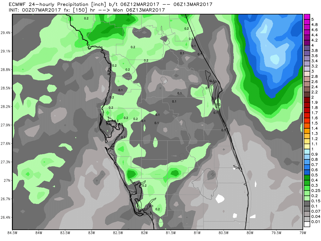
A short wave trough with an accompanying cold front will be moving closer to the area on Saturday night, and moving across during the afternoon and evening hours on Sunday. A mix of sun and clouds can be expected throughout the day, and I believe that a few showers could move across the area during the afternoon hours. Good news is that rainfall amounts will be light, less than 0.10 inches for the St. Petersburg area. As of now, the chance for a shower is only 30%. The afternoon high should climb into the mid 70s, after they start off in the upper 60s at 8AM.
I’ll have a better look at the forecast for Sunday later in the week as the models will be able to get a handle on this system.


