The weather pattern across the region will be a front pushing toward the southeast across the Sea of Japan on Friday, which will stall across the southern half of Japan on Saturday. A southerly flow of moist air above the surface will ride up and over the front, which will make for a very wet day on Saturday. An upper level trough will also be approaching from the west on Saturday, further enhancing the rain that day. But that trough is expected to help push that front a little further to the south on Sunday, which could mean less rainfall on race day.
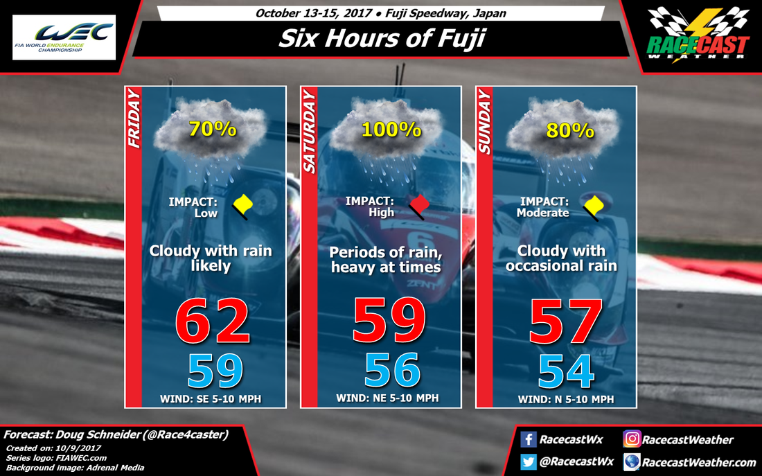
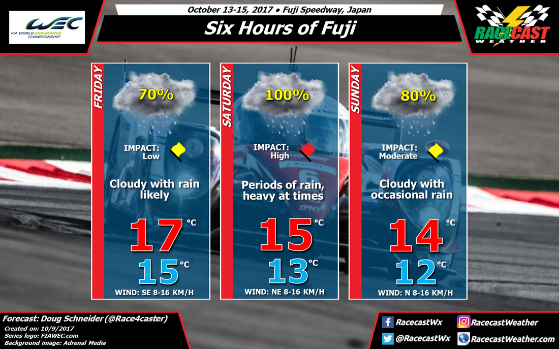
There is good model agreement about this general pattern, so I'm confident that there will be rain, especially on Saturday, but the details of how much rain might fall is still uncertain. Saturday will likely have the greatest rainfall amounts, which is why I have the Impact as High that day. Friday and Sunday may have less rain, so I have a Low to Moderate Impact rating for those days. My best estimate of rain amounts on Friday and Sunday is between 0.1 and 0.3 inches (3-8 mm) each day, and between 0.5 and 1 inch on Saturday (13-25 mm). The exact position of where the front will be located each day will have a big impact on how much rain falls at the track. This far out in the forecast, it's nearly impossible to predict exactly where it will be.
With a lot of cloud cover the entire weekend, and a north wind behind the front on Saturday and Sunday, temperatures will be quite cool, with highs only in the upper 50s to lower 60s (mid to upper teens Celsius).
Follow me on Twitter for forecast updates through the week - @Race4caster. I'll have the next update by Friday at the latest, unless there are big changes needed before then.


