On Friday, the Detroit area will be in a warm and moist south to southwesterly flow, while a cold front will be pushing south across the upper Great Lakes. In the warm, moist air mass ahead of the front, there will likely be showers and thunderstorms. The question of timing is too uncertain this far out to be very specific, but I think the afternoon will have better rain chances than the morning. At this time, I have the impact on racing as moderate, meaning there will be wet conditions and possibly some delays in the schedule. I could see the impact becoming high with later forecast updates if the rain will be heavy, but that is too uncertain right now.
The cold front will move through Friday night, bringing a drier and cooler air mass to the area from the north. Saturday looks like great racing weather, with mostly sunny skies and highs in the upper 60s.
There is a little uncertainty about Sunday, but I'm going with a dry and mostly sunny forecast. Some previous model runs had shown the cold front lifting back to the north and bringing more rain on Sunday, but the latest models are in better agreement with each other that the front will remain to the south of Detroit. I'll feel more confident in the dry forecast with additional model runs that continue to show this trend.
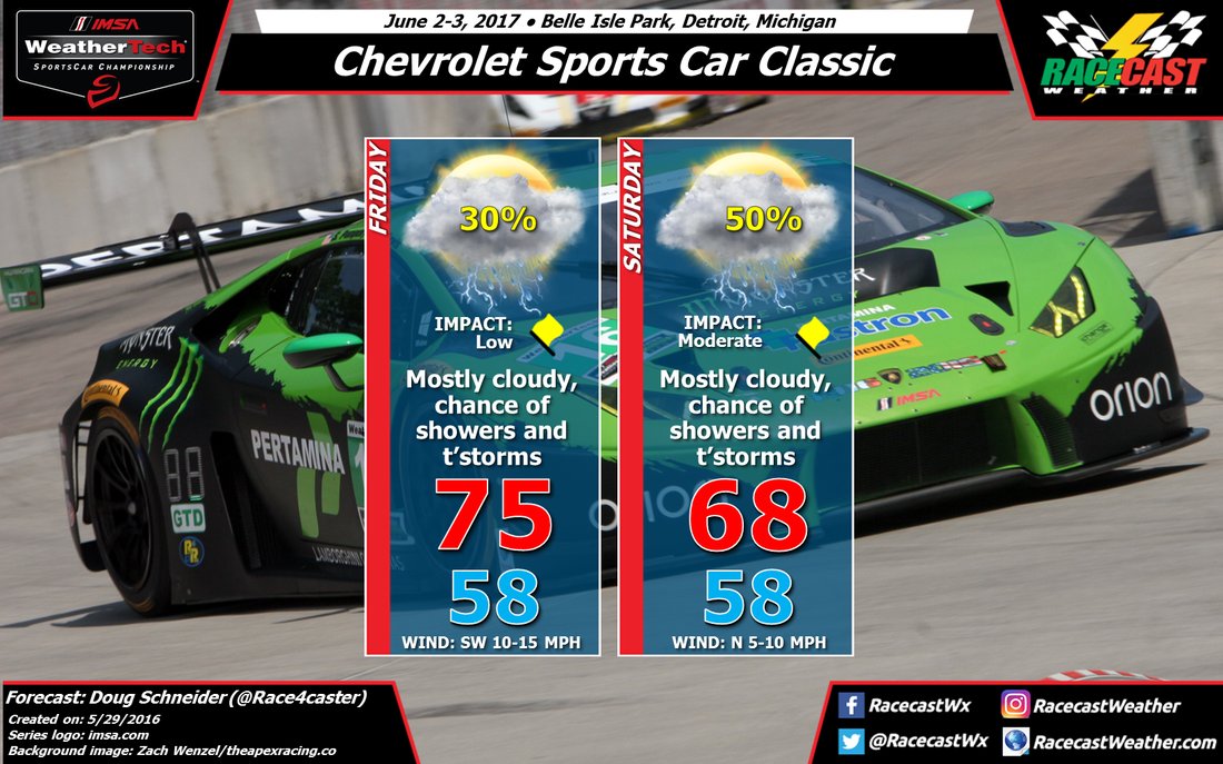
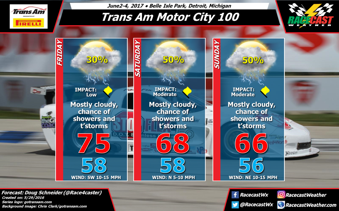
Here are the forecast graphics for the other series that will be in action at Belle Isle:


