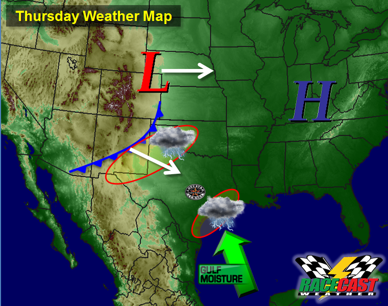
Here's a look at what the weather map might look like on Thursday:
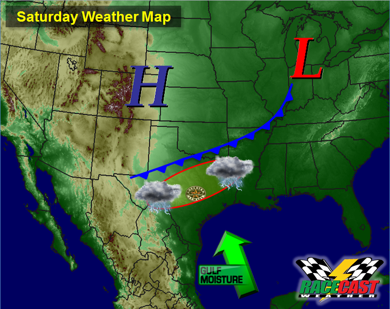
On Friday, the pattern continues to look similar, but by this time, the moisture from the Gulf will be higher, the front will be getting closer, and there will be an upper level trough and jet stream getting closer as well. So I have a slightly higher chance of rain at the track on Friday afternoon compared to Thursday.
Here's what we can expect on Saturday:
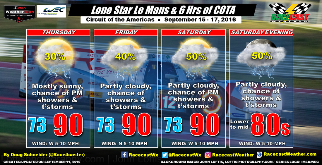
There is good model agreement on this general pattern, so I'd be surprised if the forecast changes significantly between now and Thursday. The details of how much rain may fall and the timing of the best chances should come into better focus over the next few days. Temperatures will be close to normal for Austin, with highs around 90, but it will feel quite muggy with a dewpoint temperature in the lower 70s.
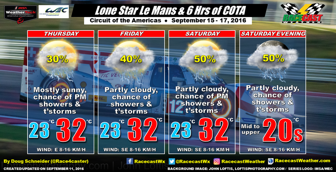
Here's the forecast graphic in Celsius and KM/H:


