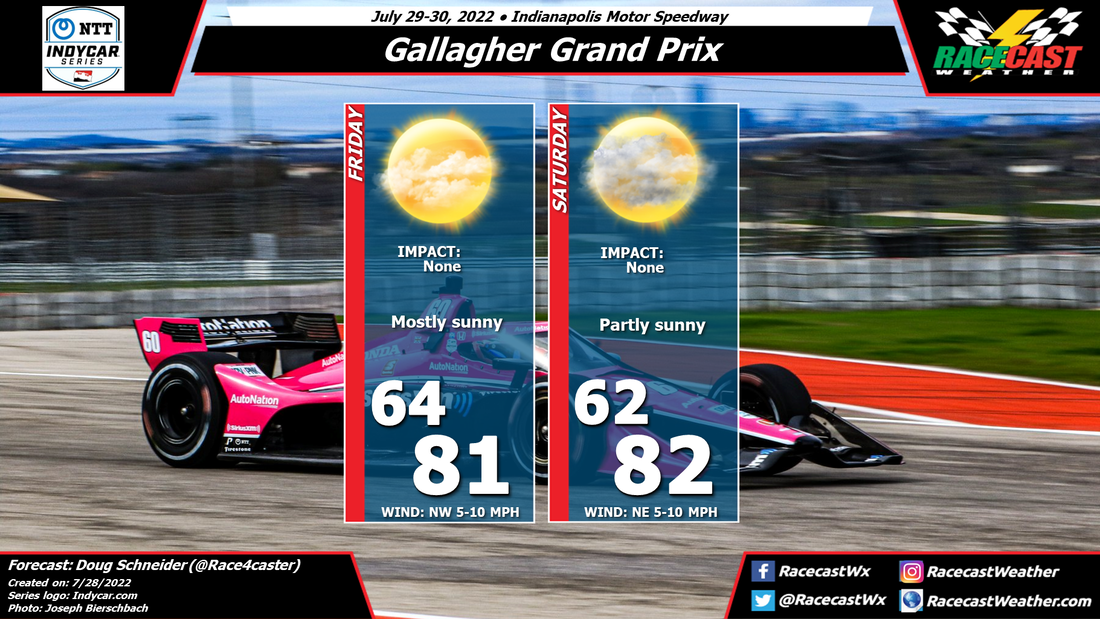
The weather pattern at the start of the event will feature a large high pressure area off the southeast coast of the United States, providing a southeast to easterly flow. As the southerly flow strengthens on Saturday, a littel more moisture will build into the area. Winds will start to pick up on Saturday as a low pressure system moves into the Southeast and the pressure gradient tightens.
There is good model agreement that a cold front will move through the St. Pete area on Sunday. Right now, the timing appears to be in the morning, but that could change through the week. It also appears that this front will be weakening as it approaches, with showers and thunderstorms trending downward in coverage and intensity. I expect that coverage will be scattered, and rain amounts fairly light at this time. We will continue to monitor these trends through the week, so stay tuned and check back for updates.


