Click images to enlarge
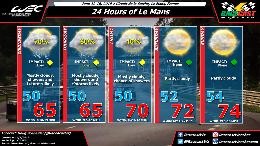
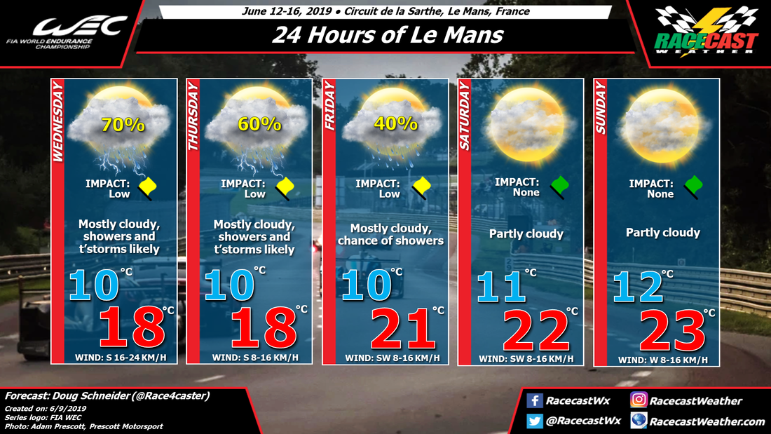
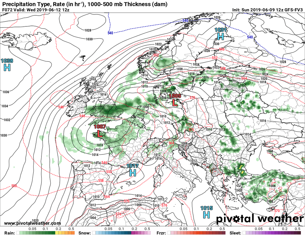
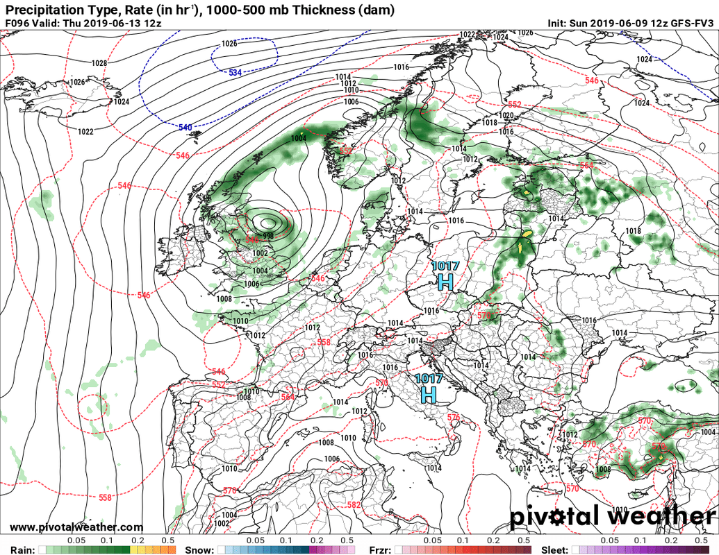
A slow-moving low pressure system will be stalled over western France for the first half of the week. As I type this, showers and thunderstorms are occurring in the Le Mans area. With the low basically stationary, periods of showers and thunderstorms will continue through Monday and Tuesday, and likely through Wednesday and possibly Thursday as well. The weather map below shows one model's depiction of the pattern on Wednesday.
On Saturday the low should be too far north to have any impact, although there will be a weak trough remaining in the mid and upper levels of the atmosphere. I don't think this trough will be strong enough to produce any rain on Saturday, but I'm not 100% confident of that. While I think that Saturday will remain dry at this time, later forecast updates may add a small chance of a shower.
I'm more confident that Sunday will be dry, as a ridge of high pressure through the lower and mid levels will be building across western Europe. It should be a really nice end to the race, with partly cloudy skies and temperatures reaching the mid 70s F or lower 20s C.
Unless there is a significant change needed, I plan to have the next update posted on Tuesday. Thanks for following and sharing our forecast.


