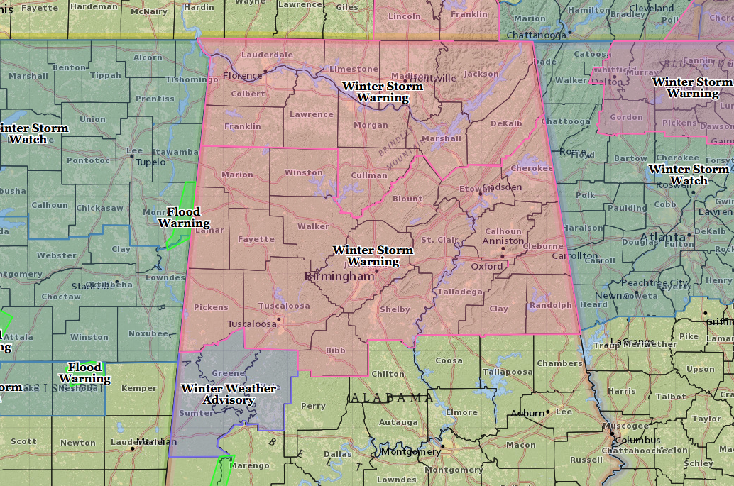
Much of north-central Alabama will receive a decent amount of snow, as much as 8 inches possible in some isolated spots. There is an issue with this forecast. Latest models have been trending a little more north with a sharp drop-off in snow coverage on the southern edge of this system. Right now, the Irondale to Leeds area (where Barber is located) is in a 2-3 inch bullseye as of now. That zone is so thin right now that if the system moves just a few miles north, it could be just a cold rain. If it moves just a few miles south, it could be a snowfall as much as 4-6 inches.
Bottom line:
It will start off as rain during the morning, then changing over to snow sometime before 11AM. Snow will be heaviest from the time period of 1PM to 7PM. If the system moves a little south of the forecast track, it is possible to have a small chance of convective snow called “thundersnow.” Highs will only reach the mid 30s and start to fall to around 30 as the snow falls. Once again it is difficult to say what the forecasted accumulations will be. I’ll throw my guesstimate out there and say 2-3 inches for the area. Snow should taper off by 10PM.
During the heavy periods of snowfall, travel could become difficult in the area, and might become impossible for a few hours. With the state of emergency ordered, all of the state agencies will take the necessary actions to be prepared to respond to deteriorating conditions all across the area.
I’ll be back with another post in the morning for any updates to the snow and how the rest of the week will turn out. Have a great night. Tomorrow will be a busy day.


