By Doug Schneider - @Race4caster
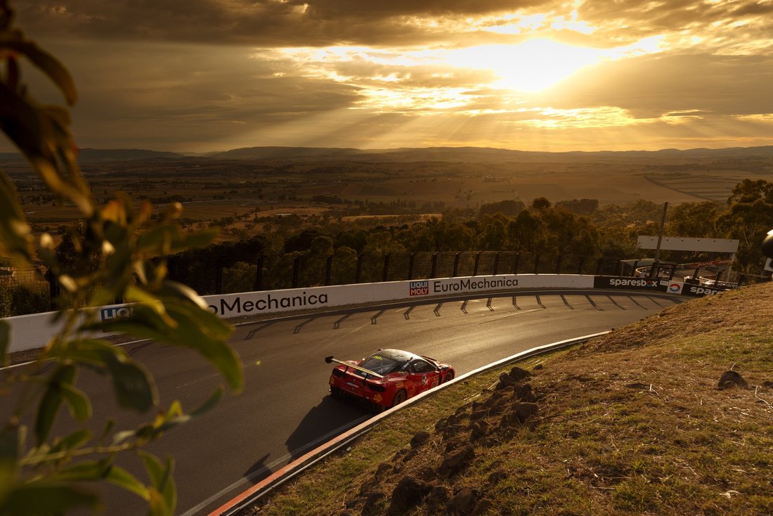
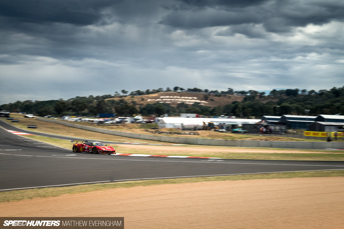
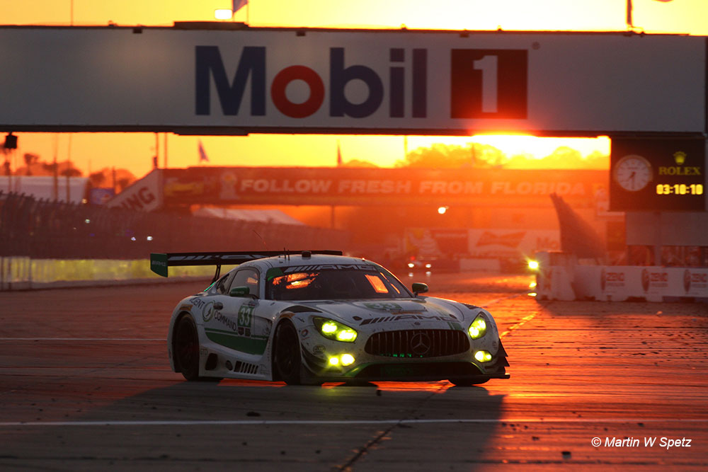
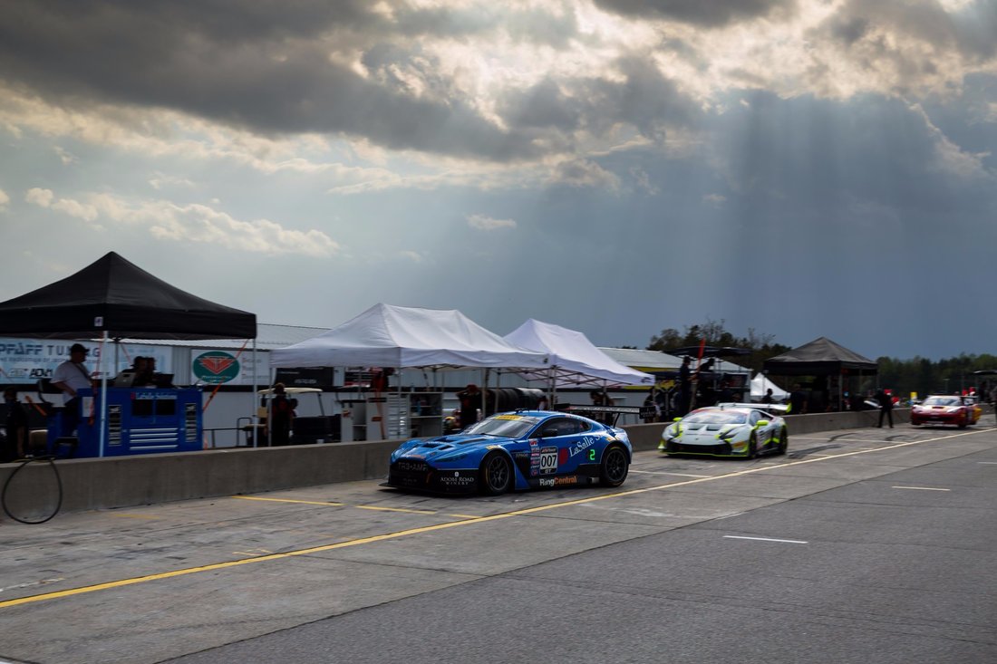
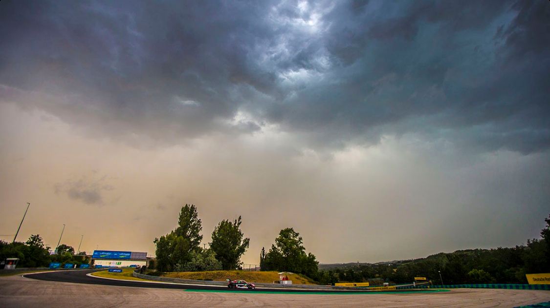
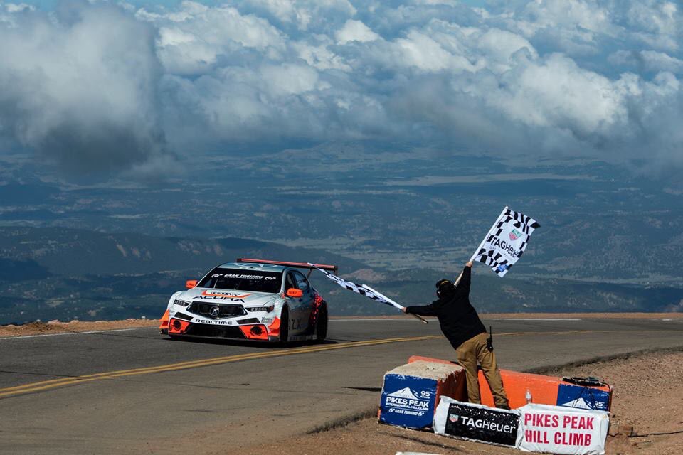
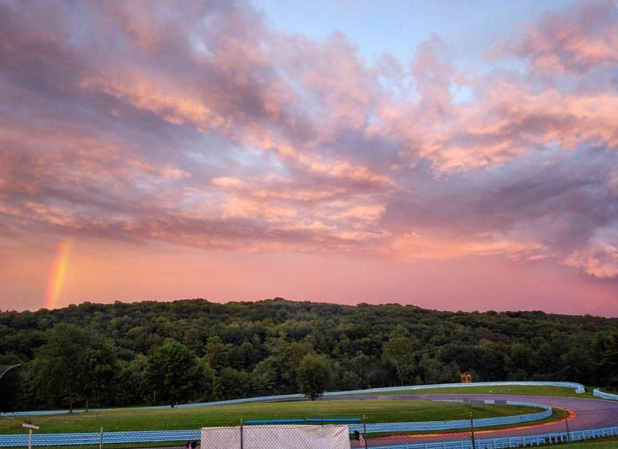
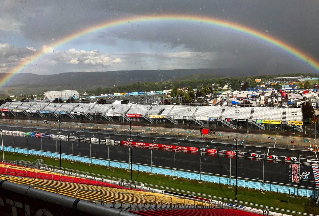
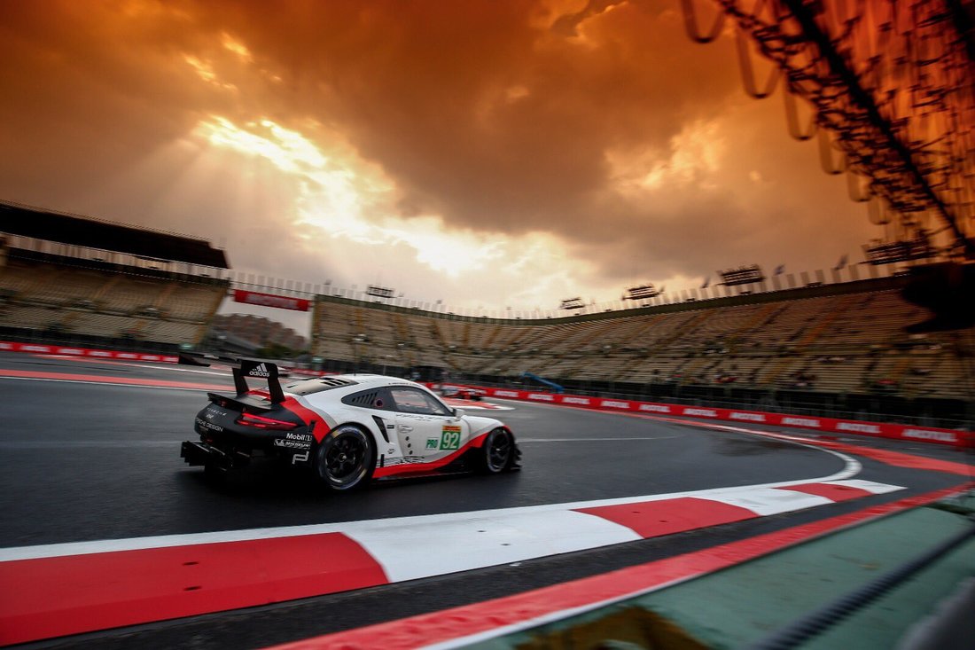
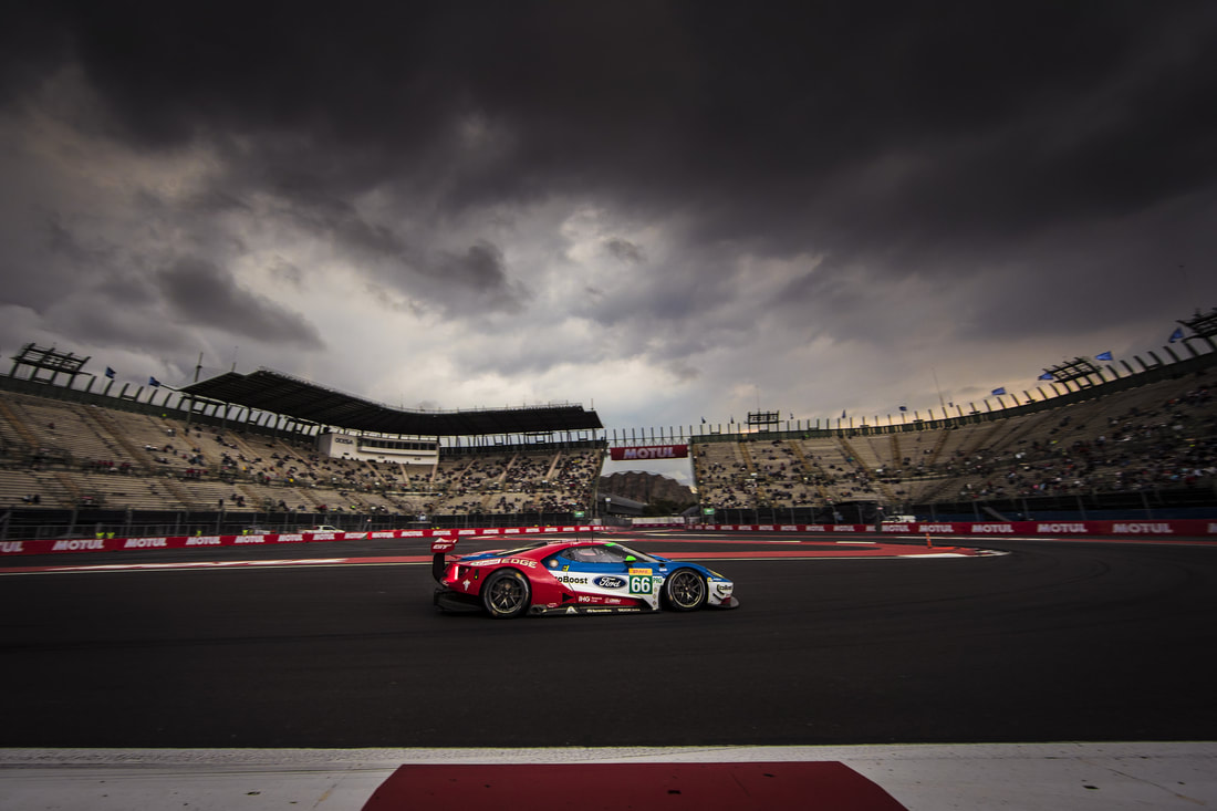
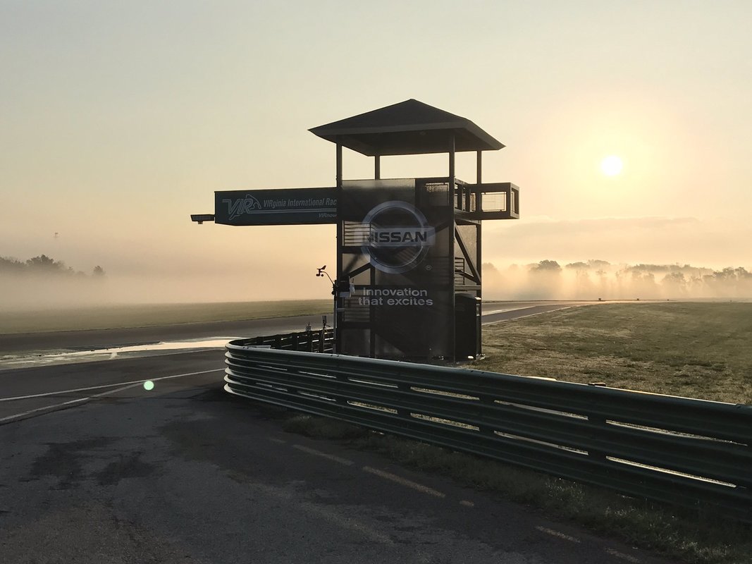
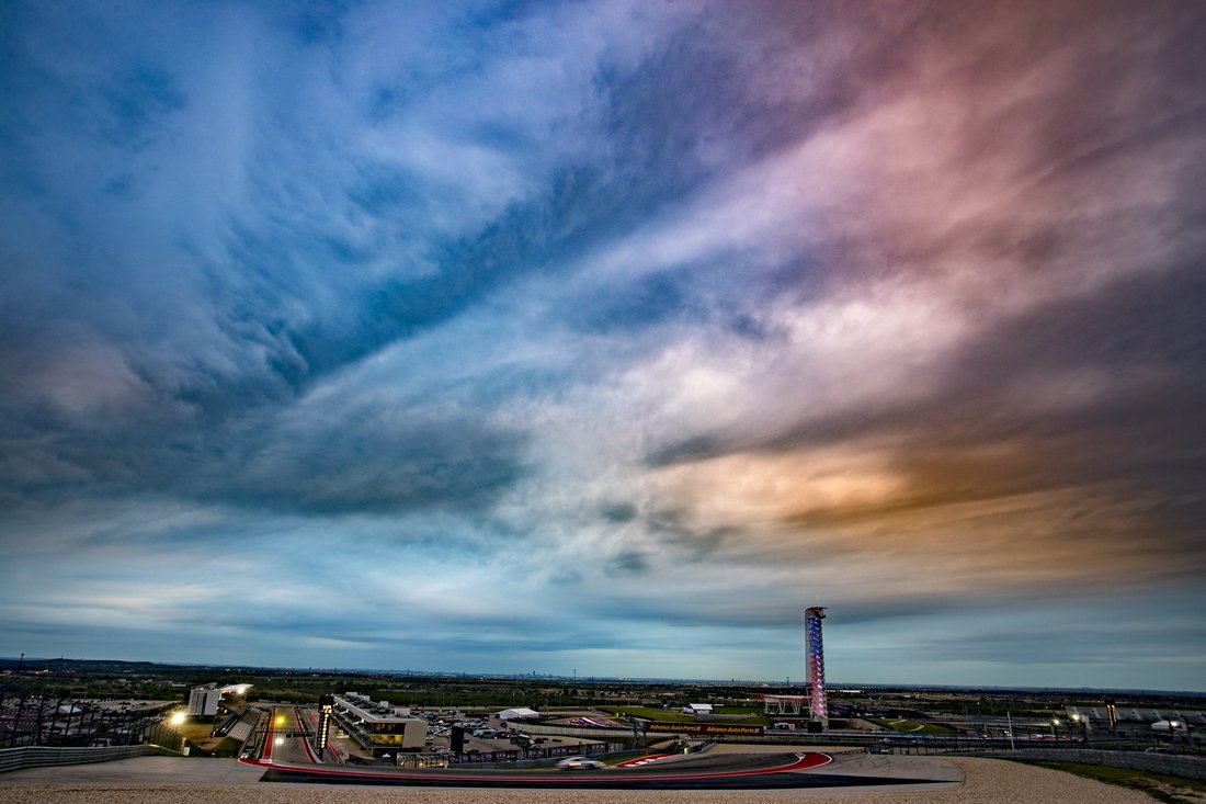
It has become an annual tradition at Racecast Weather to share with you the best photos that combine our two favorite things - weather and race cars. Nothing compliments the beauty of race cars like a breath-taking weather scene in the background. So here's the collection for 2017 - click to enlarge. Hope you enjoy them.
It has become an annual tradition at Racecast Weather to share with you the best photos that combine our two favorite things - weather and race cars. Nothing compliments the beauty of race cars like a breath-taking weather scene in the background. So here's the collection for 2017 - click to enlarge. Hope you enjoy them.