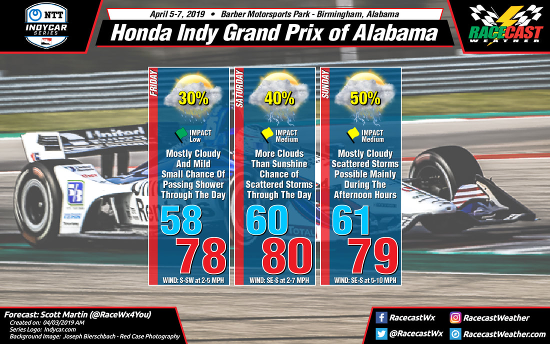
While we'll have just a little more sunshine throughout the day on Saturday, skies will still feature more clouds than sun. With the moist atmosphere in place, a few passing showers with an embedded clap of thunder or two will be possible. At this point, the chance of rain at the track is around 40%, but we'll have more dry conditions than rain. If any rain does fall, amounts will be less than 0.10 inches. We'll have to stay weather aware as there will be plenty of instability in place, so there is the potential for a strong storm. Temperatures start off in the lower 60s at daybreak and will climb to right around 80 degrees for the high. Winds will be out of the southeast to south at 2-7 MPH.
Much of the day on Sunday continues to look dry and warm at the track, but there will be a system approaching from the west that looks to move into the area during the latter part of the afternoon and into the evening hours. Now we may have to watch for any cells that may develop out ahead of the system and move across the area. We'll have pretty stout instability in place during the late morning and throughout the remainder of the day, so we will have the potential of a strong to possibly severe storm. As of now, the long range models are not showing any cells developing ahead of the system, so let's hope that solution is correct. Once the system arrives, the instability will drop rapidly, but we'll still have enough for the possibility of a strong storm. The chance of rain is at 50% for now throughout the day, but like I said, much of the morning and early afternoon looks to stay dry at this point. Temperatures will start off in the lower 60s and will climb up to the upper 70s just below the 80 degree mark. Winds will be out of the southeast to south at 5-10 MPH.


