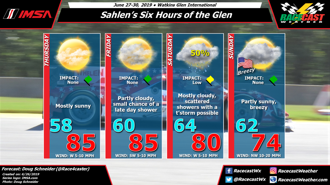
On-track sessions begin on Thursday, and the weather looks great, although on the warm side, with plenty of sunshine and high temperatures in the mid 80s. Friday will have a little more clouds cover but with a southwest wind, temperatures will rise into the mid 80s again in the afternoon. There could be a very light and brief shower at the track before sunset Friday, but I think the chances of this occurring are less than 20%, and even that small chance would come after the day's on-track sessions are done.
A low pressure system will be over eastern Canada, tracking south-southeast through the weekend. This will push a cold front toward Watkins Glen, probably sometime on Saturday. Showers ahead of this front may arrive as early as Friday night. There is still some disagreement among the models regarding the timing of the best rain chances, so I don't feel confident enough yet to be more specific on timing. Scattered showers are possible at any time on Saturday, with a small chance of a thunderstorm.
The cold front is expected to be through the area by the end of the day Saturday, shifting winds to the northwest and bringing an end to any showers. The upper level low pressure system will be to the east, over New England, and the northwesterly flow will bring drier and cooler air on Sunday. Temperatures will be cooler with a northwest wind between 10 and 20 mph and a good amount of clouds around, but with some partial sunshine, highs will reach the mid 70s.
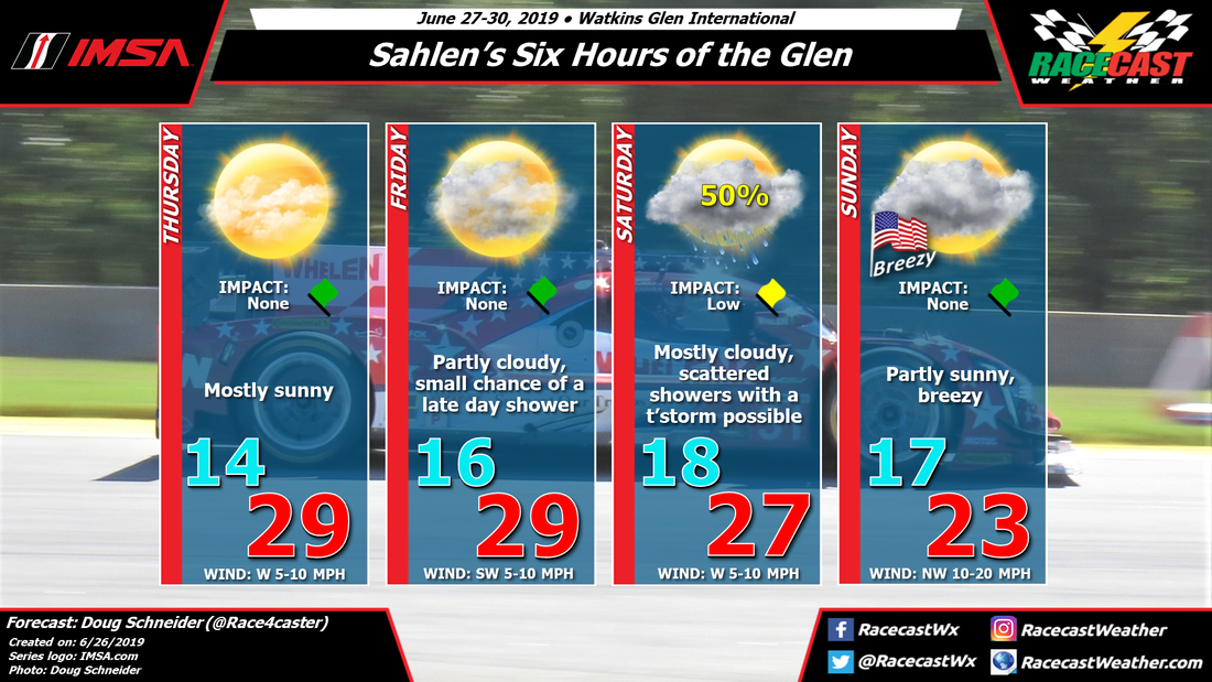
Here's the forecast graphic in Celsius, if you're into that sort of thing.


