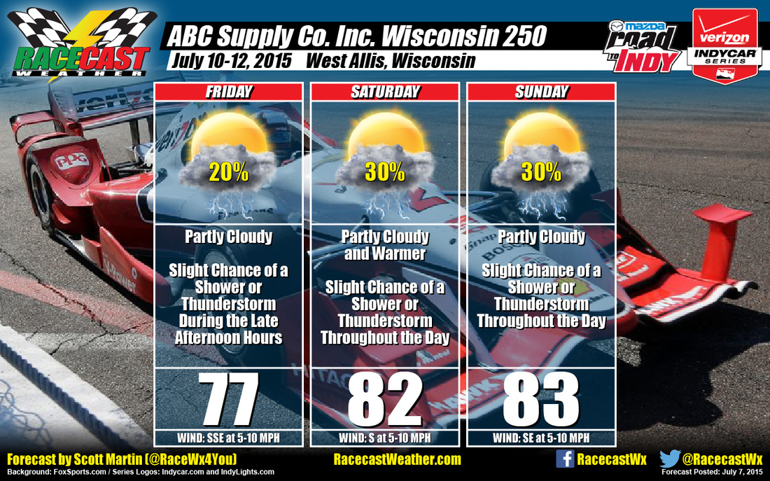
Friday should start off partly cloudy with temperatures in the lower 60s. Rain and thunderstorm chances will seem to be set for later in the afternoon to evening hours due to an advancing surface warm front with accompanying 500mb shortwave trough that is expected to form and move across the area. Daytime highs will reach the mid 70s, with winds from the south-southeast at 5-10 MPH. Chance of rain is at 20%.
Saturday will start off partly cloudy with a slight chance of rain or thunderstorms possible, with morning temperatures in the upper 60s. The rest of the day will be partly cloudy. with slight chance of rain or thunderstorms lingering throughout the day. Daytime highs will reach the lower 80s, with winds from the south at 5-10 MPH. Chance of rain is 30%.
On Sunday, the mid-level flow will shift from the northwest as a shortwave ridge axis approaches and moves through the area. Along this axis, several shortwave troughs will slide through the area keeping rain chances in the forecast. What is so hard is forecasting where the axis will be at a certain time this far out, and when and how many troughs will slide through the area. So I'm going with partly cloudy skies throughout the day with slight chance of rain or thunderstorms. Daytime highs should reach the lower 80s, with winds from the southeast at 5-10 MPH. Chance of rain is at 30%.
Radar is up and running on our site, just click on the Indycar Radar link to view. I'll have updates on my Twitter feed (@RaceWx4You) and I'll update our website each day leading up to the races. If you haven't noticed, we have a new web address. You can now find us at www.racecastweather.com.


