As opposed to the previous forecast, the cold front is now expected to stall just to the south of the Tampa region, becoming stationary until Monday. Winds will shift to the north/northeast, much like what was expected, however cloudy conditions will persist for Sunday morning with more partly cloudy conditions possible for the afternoon. The stationary front will also maintain chances for scattered showers mainly overnight, but could extend into the day. Rainfall will be fairly light with totals only expected less than 1/10".
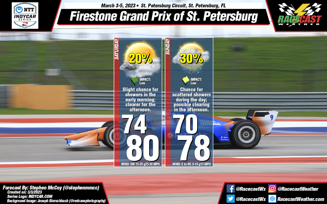
By: Stephen McCoy With the previous forecast for St. Pete, the cold front affecting the region was expected to fully move through during the weekend, but timing was not yet clear. Now, the front is expected move through during the afternoon on Saturday. Saturday morning, ahead of the front, there is a slight chance for light, isolated showers as winds from the southwest bring in moisture to the area. Partly to mostly cloudy conditions are also expected Saturday morning, but will gradually clear for the afternoon before increasing overnight into Sunday. Winds won't be as strong as Friday, but will still be around 10-15 mph with gusts at 25-30.
As opposed to the previous forecast, the cold front is now expected to stall just to the south of the Tampa region, becoming stationary until Monday. Winds will shift to the north/northeast, much like what was expected, however cloudy conditions will persist for Sunday morning with more partly cloudy conditions possible for the afternoon. The stationary front will also maintain chances for scattered showers mainly overnight, but could extend into the day. Rainfall will be fairly light with totals only expected less than 1/10". |
Social Feeds
Authors
Doug Schneider Partners
Categories
All
Archives
March 2023
|