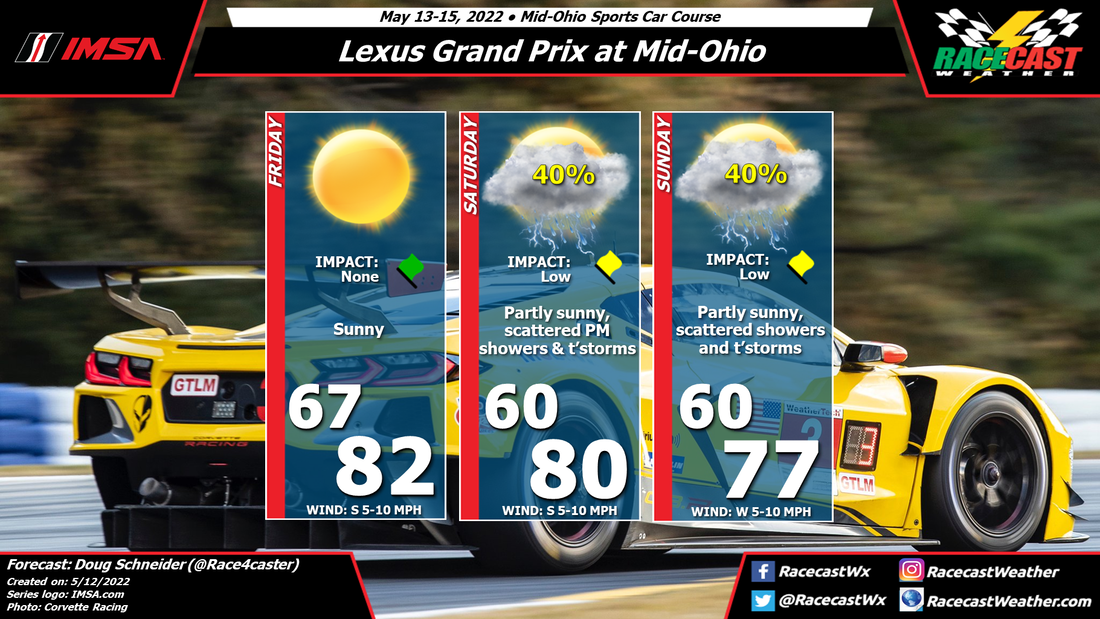
Through the middle portion of the week, a large high pressure system will move across the Mid-Atlantic region, and be off the East Coast by Thursday. This will produce a southerly wind across the Finger Lakes region, providing warm temperatures and mostly sunny skies on Thursday and Friday.
On Saturday, the high pressure will lose its grip on New York and a low pressure system will track northeast across the Great Lakes, southern Ontario, and into Quebec. A cold front will trail behind this system and slowly creep into western New York late on Saturday. During the afternoon, scattered showers and thunderstorms may pop up in the area around the track. These will be hit-and-miss showers that could avoid the track entirely, so I only have a 30% chance of rain in for Saturday afternoon.
The cold front will make slow eastward progress on Saturday night, putting it close to the Finger Lakes on Sunday. With the front nearby and deep moisture in place, showers and thunderstorms are likely to affect Sunday's action. It's too soon to tell how significant the impacts will be, because that depends on how much rain falls and how heavy it will come down. That should come into better focus over the next few days. For now, I am confident that there will be rain at some point during the day, and there could be a potential for some heavy rain.. Check back through the week for updates.


