By Scott Martin.
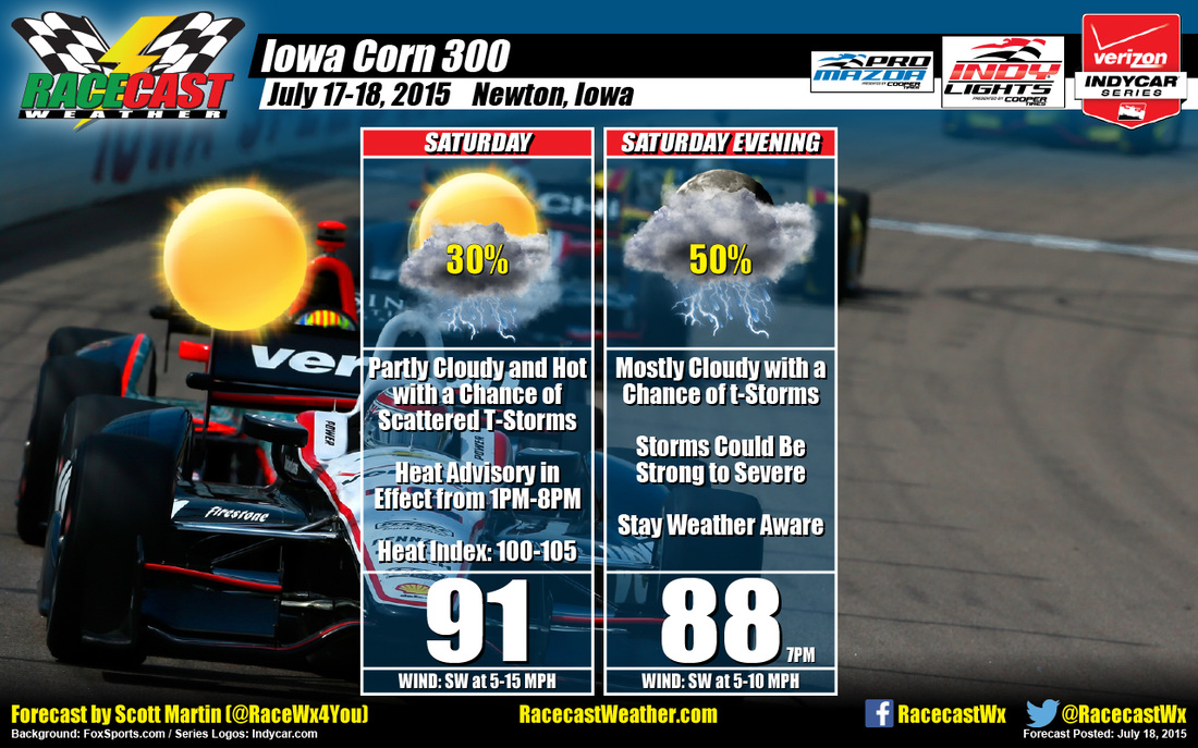
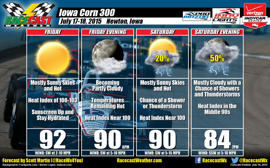
To start off the forecast today, the NWS in Des Moines has issued a Heat Advisory from 1PM until 8PM tonight. With high temperatures reaching the lower 90s, heat indices could reach as high as 105. As of right now, showers and thunderstorms are already popping up on radar. Models are showing rain and thunderstorms in the area from the 12PM-10PM timeframe today.
Also, looking at the NWS Des Moines forecast discussion for today says that the convective trends should gradually diminish during the mid morning hours except for possible storms over southwest Iowa. A boundary will push into northwest Iowa this afternoon, bringing with it an increase in dew points into the upper 70s. The best chance for thunderstorms will be along the boundary this afternoon as it sinks into central Iowa. There is also concern for a threat of severe weather tonight. Models are holding off on development until closer to 1AM. Expecting a cap to stay in place through the afternoon and early evening hours before a low level jet moves in.
If the cap breaks earlier, there is a decent chance that showers and thunderstorms could break out during the race, and the possibility for severe development is there. Please stay weather aware while at the track today.
So the bottom line for the forecast:
• Heat Advisory in effect from 1PM to 8PM CDT tonight.
• Partly cloudy skies with a 30% chance of scattered thunderstorms during daytime hours
• Mostly cloudy skies with 50% chance of scattered showers and thunderstorms after 7PM
• Daytime high: 91. Heat index: 100-105.
• 7PM temperature: 88. Heat index: 99-102.
• Stay weather aware and stay hydrated
Radar is up and running on our website (www.racecastweather.com). I’ll have updates on my Twitter feed (@RaceWx4You) throughout the day, especially if thunderstorms are threatening the track.